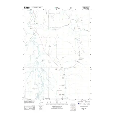
2012 Map of Grover
USGS Topo · Published 2012About this map
Salt River meanders through the western portion of this quadrangle, defining a landscape of canyons and hollows near the Idaho border in the early 2010s. The settlement of Grover serves as a central hub, connected by a network of rural roads such as Bedford-Turnerville Rd and Meadow Ln. To the northeast, the Turnerville Community sits near the base of the mountains, with Heiner Airport and Dry Canyon nearby. The terrain is marked by numerous family-named landmarks and topographical features like Churchhouse Hollow, Cemetery Gulch, and The Narrows. This area reflects a stable agricultural and residential pattern, where seasonal drainages like Willow Creek and Stump Cr flow from the high ground into the valley floor. Researchers will find a detailed layout of the rural infrastructure, from local cemeteries to the small-scale aviation facilities that serve this part of Lincoln County.
Find a feature on this map
63 named features on this map. Tap any name to fly to it.
Don’t see what you’re looking for? This feature index may not catch every label — zoom into the map to look around manually.
Map Details
Editions of this 2012 Grover Map
This is the sole edition of this map. No revisions or reprints were ever made.
Other maps of this area
1915 · Freedom
USGS Topo · 1:62,500
1915 · Crow Creek
USGS Topo · 1:62,500
1921 · Afton
USGS Topo · 1:125,000
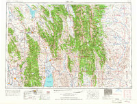
1955 · Preston
USGS Topo · 1:250,000
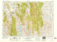
1958 · Preston
USGS Topo · 1:250,000
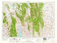
1962 · Preston
USGS Topo · 1:250,000
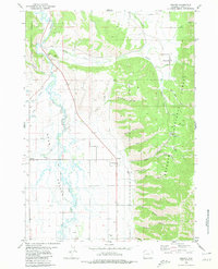
1980 · Grover
USGS Topo · 1:24,000
1980 · Man Peak
USGS Topo · 1:24,000
1980 · Thayne West
USGS Topo · 1:24,000
1980 · Sage Valley
USGS Topo · 1:24,000