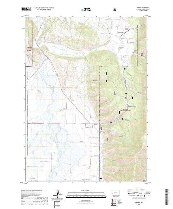
2021 Map of Grover
USGS Topo · Published 2021About this map
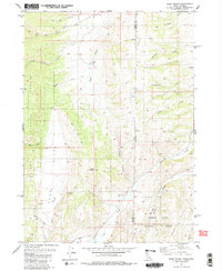
Star Valley dominates this landscape, where the Salt River winds through a flat basin flanked by the Caribou National Forest to the west and the Bridger National Forest to the east. The map captures the agricultural and residential layout of Grover and Turnerville, including the Grover Cem and Turnerville Cem which serve these high-altitude communities. The terrain transitions sharply from the valley floor into steep canyons and gulches like Cemetery Gulch, Jensen Canyon, and Bradshaw Canyon.
Find a feature on this map
70 named features on this map. Tap any name to fly to it.
Don’t see what you’re looking for? This feature index may not catch every label — zoom into the map to look around manually.
Map Details
Editions of this 2021 Grover Map
This is the sole edition of this map. No revisions or reprints were ever made.
Other maps of this area

1915 · Freedom
USGS Topo · 1:62,500

1915 · Crow Creek
USGS Topo · 1:62,500

1921 · Afton
USGS Topo · 1:125,000

1955 · Preston
USGS Topo · 1:250,000

1958 · Preston
USGS Topo · 1:250,000

1962 · Preston
USGS Topo · 1:250,000
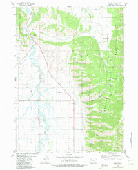
1980 · Grover
USGS Topo · 1:24,000
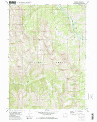
1980 · Man Peak
USGS Topo · 1:24,000
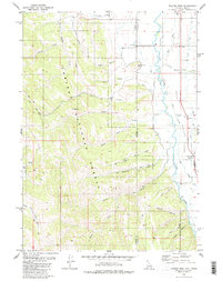
1980 · Thayne West
USGS Topo · 1:24,000
1980 · Sage Valley
USGS Topo · 1:24,000