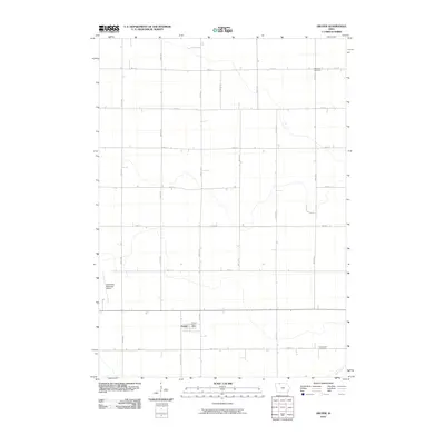
2010 Map of Gruver
USGS Topo · Published 2010About this map
The agricultural landscape of Emmet County centers on Gruver, a small settlement positioned at the intersection of a sprawling section-line road network. The town's community heart is marked by the Gruver Post Office, while the surrounding rural area reflects a long-established history of settlement through the presence of the Palestine Cemetery to the north and Swan Lake Cemetery to the south. The western edge of the quadrangle is defined by the Estherville Municipal Airport, providing a modern infrastructure contrast to the otherwise quiet farmsteads. Meandering through the southeastern corner, Jack Creek offers a natural break in the strictly gridded terrain of roads like 180th St and 440th Ave. This survey illustrates the persistent township-and-range layout that has dictated Iowa's land use for over a century.
Find a feature on this map
22 named features on this map. Tap any name to fly to it.
Don’t see what you’re looking for? This feature index may not catch every label — zoom into the map to look around manually.
Map Details
Editions of this 2010 Gruver Map
This is the sole edition of this map. No revisions or reprints were ever made.
Other maps of this area

1954 · Fairmont
USGS Topo · 1:250,000

1958 · Fairmont
USGS Topo · 1:250,000

1970 · Ceylon
USGS Topo · 1:24,000

1970 · Dunnell
USGS Topo · 1:24,000

1970 · Wilbert
USGS Topo · 1:24,000

1972 · Wallingford
USGS Topo · 1:24,000

1972 · Estherville
USGS Topo · 1:24,000

1980 · Ringsted
USGS Topo · 1:24,000

1980 · Ingham Lake
USGS Topo · 1:24,000

1980 · Gruver
USGS Topo · 1:24,000