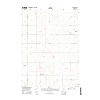
2015 Map of Gruver
USGS Topo · Published 2015About this map
The agricultural grid of Emmet County defines this landscape, where the small incorporated town of Gruver sits along the southern rail corridor. In this northern Iowa prairie region, the land has been heavily managed for drainage, marked by an extensive network of artificial waterways including County Ditch Number 53, Ditch Number 40, and Ditch Number 7. These features reflect a century of hydrologic engineering designed to support the surrounding farmland. In the northeast corner, the community of Dolliver anchors the township lines, while the Estherville Municipal Airport occupies the western edge of the survey area. Local heritage is preserved at sites like Palestine Cem and Swan Lake Cem near the banks of Jack Cr, offering fixed points for genealogical research amidst the shifting seasons of the corn belt.
Find a feature on this map
31 named features on this map. Tap any name to fly to it.
Don’t see what you’re looking for? This feature index may not catch every label — zoom into the map to look around manually.
Map Details
Editions of this 2015 Gruver Map
This is the sole edition of this map. No revisions or reprints were ever made.
Other maps of this area

1954 · Fairmont
USGS Topo · 1:250,000

1958 · Fairmont
USGS Topo · 1:250,000

1970 · Ceylon
USGS Topo · 1:24,000

1970 · Dunnell
USGS Topo · 1:24,000

1970 · Wilbert
USGS Topo · 1:24,000

1972 · Wallingford
USGS Topo · 1:24,000

1972 · Estherville
USGS Topo · 1:24,000

1980 · Ringsted
USGS Topo · 1:24,000

1980 · Ingham Lake
USGS Topo · 1:24,000

1980 · Gruver
USGS Topo · 1:24,000