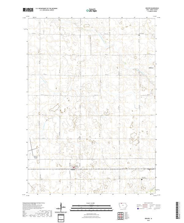
2022 Map of Gruver
USGS Topo · Published 2022About this map
Gruver and the surrounding agricultural landscape of Emmet County are defined by a sophisticated water management system of drainage ditches. Constructed to transform the prairie wetlands into productive farmland, features such as County Ditch Number 53, County Ditch Number 52, and Ditch Number 40 crisscross the townships of T100N R33W and T100N R32W. Small settlements like Dolliver and Maple Hill serve as local hubs for this rural community, while the Estherville Municipal Airport occupies the western edge of the quadrangle. Genealogists can find the Palestine Cem and Swan Lake Township Cem plotted near the township boundaries. The map reflects a landscape engineered for efficiency, where section lines dictate the road grid of 120th St and 180th St, and the natural flow of Jack Cr intersects with man-made alterations.
Find a feature on this map
24 named features on this map. Tap any name to fly to it.
Don’t see what you’re looking for? This feature index may not catch every label — zoom into the map to look around manually.
Map Details
Editions of this 2022 Gruver Map
This is the sole edition of this map. No revisions or reprints were ever made.
Other maps of this area

1954 · Fairmont
USGS Topo · 1:250,000

1958 · Fairmont
USGS Topo · 1:250,000

1970 · Ceylon
USGS Topo · 1:24,000

1970 · Dunnell
USGS Topo · 1:24,000

1970 · Wilbert
USGS Topo · 1:24,000

1972 · Wallingford
USGS Topo · 1:24,000

1972 · Estherville
USGS Topo · 1:24,000

1980 · Ringsted
USGS Topo · 1:24,000

1980 · Ingham Lake
USGS Topo · 1:24,000

1980 · Gruver
USGS Topo · 1:24,000