
1961 Map of Guadalupe
USGS Topo · Published 1975About this map
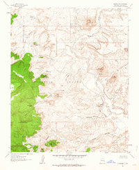
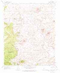
The settlement of Guadalupe and its surrounding high-desert landscape are documented here just after the mid-century, defined by a complex network of arroyos and volcanic features. The community is anchored by the Guadalupe Cem and Guadalupe Springs, situated near the confluence of the Rio Puerco and the massive Cañon de Guadalupe. This area of Sandoval County shows a transition from the structured boundary of the Cibola National Forest and the Ignacio Chavez land grant to the open, eroded mesas of the Rio Puerco valley.
Find a feature on this map
44 named features on this map. Tap any name to fly to it.
Don’t see what you’re looking for? This feature index may not catch every label — zoom into the map to look around manually.
Map Details
Editions of this 1961 Guadalupe Map
Other maps of this area

1883 · Mt. Taylor
USGS Topo · 1:250,000

1886 · Mt. Taylor
USGS Topo · 1:250,000

1892 · Mt. Taylor
USGS Topo · 1:250,000

1899 · Mt. Taylor
USGS Topo · 1:250,000

1958 · Albuquerque
USGS Topo · 1:250,000

1961 · Cerro Parido
USGS Topo · 1:24,000

1961 · Cerro Tinaja
USGS Topo · 1:24,000

1961 · Arroyo Empedrado
USGS Topo · 1:24,000
1961 · Canada Calladita
USGS Topo · 1:24,000
1961 · Laguna Seca
USGS Topo · 1:24,000