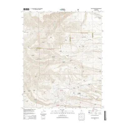
2013 Map of Guaje Mountain
USGS Topo · Published 2013About this map
The high mesas of Los Alamos are the focal point of this 2013 survey, where urban development meets the deep canyons of the Santa Fe National Forest. The map documents the complex geography of the Pajarito Plateau, characterized by prominent landforms such as Barranca Mesa, North Mesa, and Kwage Mesa. In the southern portion, the residential and academic core of the town is visible, including the Univ of New Mexico-Los Alamos Campus and the Los Alamos Airport. To the north, the terrain transitions into a wilderness of steep drainage systems, including Santa Clara Canyon and Guaje Canyon, which lead toward the peaks of the Jemez Mountains. Water management and history are represented by the presence of the Guaje Reservoir and Los Alamos Reservoir, while localized landmarks like the Guaje Pines Cem and Pine Spring Cabin provide specific points of interest for local researchers and genealogists.
Find a feature on this map
62 named features on this map. Tap any name to fly to it.
Don’t see what you’re looking for? This feature index may not catch every label — zoom into the map to look around manually.
Map Details
Editions of this 2013 Guaje Mountain Map
This is the sole edition of this map. No revisions or reprints were ever made.
Other maps of this area

1892 · Santa Clara
USGS Topo · 1:125,000

1918 · Abiquiu
USGS Topo · 1:125,000

1952 · White Rock
USGS Topo · 1:24,000

1952 · Valle Toledo
USGS Topo · 1:24,000

1952 · Frijoles
USGS Topo · 1:24,000

1952 · Puye
USGS Topo · 1:24,000

1952 · Guaje Mountain
USGS Topo · 1:24,000

1953 · Chili
USGS Topo · 1:24,000

1953 · Vallecitos
USGS Topo · 1:24,000

1953 · Polvadera Peak
USGS Topo · 1:24,000