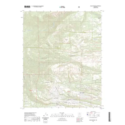
2023 Map of Guaje Mountain
USGS Topo · Published 2023About this map
Los Alamos is situated at the edge of the Jemez Mountains, where the urban landscape meets the extensive trail systems of the Santa Fe National Forest. This contemporary survey details the complex geography of the Pajarito Plateau, characterized by finger-like mesas such as Barranca Mesa, North Mesa, and Kwage Mesa separated by deep canyons. The transition from the developed townsite to the surrounding wilderness is marked by the presence of critical infrastructure like the Los Alamos Airport and Los Alamos Reservoir.
Find a feature on this map
72 named features on this map. Tap any name to fly to it.
Don’t see what you’re looking for? This feature index may not catch every label — zoom into the map to look around manually.
Map Details
Editions of this 2023 Guaje Mountain Map
This is the sole edition of this map. No revisions or reprints were ever made.
Other maps of this area

1892 · Santa Clara
USGS Topo · 1:125,000

1918 · Abiquiu
USGS Topo · 1:125,000

1952 · White Rock
USGS Topo · 1:24,000

1952 · Valle Toledo
USGS Topo · 1:24,000

1952 · Frijoles
USGS Topo · 1:24,000

1952 · Puye
USGS Topo · 1:24,000

1952 · Guaje Mountain
USGS Topo · 1:24,000

1953 · Chili
USGS Topo · 1:24,000

1953 · Vallecitos
USGS Topo · 1:24,000

1953 · Polvadera Peak
USGS Topo · 1:24,000