
1952 Map of Guaje Mountain
USGS Topo · Published 1954About this map
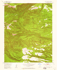
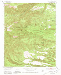
Santa Clara Indian Reservation land and the Santa Fe National Forest dominate this landscape, revealing the complex land tenure of northern New Mexico in the early 1950s. The map documents significant cultural sites, such as the Pueblo Ruins located within the Santa Clara Pueblo Grant, situated near the rugged Santa Clara Canyon. The drainage patterns are clearly defined by numerous deep cuts including Guaje Canyon and Bayo Canyon, which separate distinctive flat-topped features like North Mesa and Otowi Mesa. Historical transit is represented by established routes such as the Quemazon Trail and Camp May Trail, which navigate the steep transition from the valley floors to high peaks like Caballo Mountain. This topography illustrates the geological formation of the Pajarito Plateau, where volcanic activity left a series of finger-like mesas and deep canyons.
Find a feature on this map
34 named features on this map. Tap any name to fly to it.
Don’t see what you’re looking for? This feature index may not catch every label — zoom into the map to look around manually.
Map Details
Editions of this 1952 Guaje Mountain Map
3 editions found
Other maps of this area

1892 · Santa Clara
USGS Topo · 1:125,000

1918 · Abiquiu
USGS Topo · 1:125,000

1952 · White Rock
USGS Topo · 1:24,000

1952 · Valle Toledo
USGS Topo · 1:24,000

1952 · Frijoles
USGS Topo · 1:24,000

1952 · Puye
USGS Topo · 1:24,000

1953 · Chili
USGS Topo · 1:24,000

1953 · Vallecitos
USGS Topo · 1:24,000

1953 · Polvadera Peak
USGS Topo · 1:24,000

1953 · Bland
USGS Topo · 1:24,000