
1946 Map of Guayama
USGS Topo · Published 1946About this map
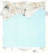
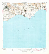
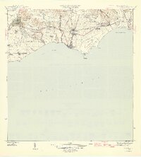
Sugarcane agriculture and industrial infrastructure dominate the southern coast of Puerto Rico in this mid-1940s survey. The landscape is defined by extensive sugar estates and their processing facilities, most notably Central Machete and Central Lafayette, which are linked by an intricate network of narrow-gauge rail lines. These tracks, including the Ponce and Guayama R R and the Guayama R R, facilitated the movement of cane from outlying colonias like Colonia Santa Elena and Colonia Algarrobo to the mills and eventually the coast.
Find a feature on this map
44 named features on this map. Tap any name to fly to it.
Don’t see what you’re looking for? This feature index may not catch every label — zoom into the map to look around manually.
Map Details
Editions of this 1946 Guayama Map
4 editions found
Other maps of this area

1945 · Punta Tuna
USGS Topo · 1:30,000

1945 · Central Aguirre
USGS Topo · 1:30,000

1946 · Patillas
USGS Topo · 1:30,000

1946 · Cayey
USGS Topo · 1:30,000

1946 · Yabucoa
USGS Topo · 1:30,000

1947 · Yabucoa SO
USGS Topo · 1:10,000

1947 · Patillas SO
USGS Topo · 1:10,000
1947 · Guayama NE
USGS Topo · 1:10,000
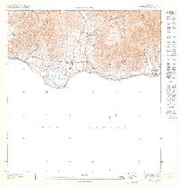
1947 · Punta Tuna NO
USGS Topo · 1:10,000
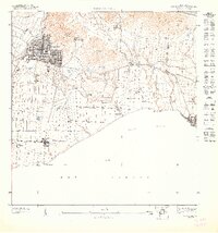
1947 · Guayama NO
USGS Topo · 1:10,000