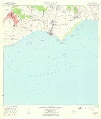
1960 Map of Guayama
USGS Topo · Published 1962About this map
The coastal sugar economy and urban development of southern Puerto Rico are clearly visible in this mid-century topographic record. The industrial landscape is anchored by the Central Lafayette and Central Machete mills, which speak to the area's agricultural heritage. Large tracts of land like Hacienda Felicia and the Algarrobo barrio surround the growing city of Guayama. Near the coast, the municipality of Arroyo is divided into Pueblo Oeste and Pueblo Este, protected by a series of offshore reefs including Arrecife Corona and Arrecife Algarrobo.
Find a feature on this map
67 named features on this map. Tap any name to fly to it.
Don’t see what you’re looking for? This feature index may not catch every label — zoom into the map to look around manually.
Map Details
Editions of this 1960 Guayama Map
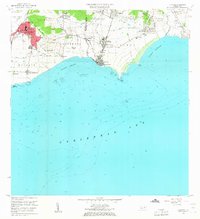
2 editions found
Other maps of this area

1945 · Punta Tuna
USGS Topo · 1:30,000

1945 · Central Aguirre
USGS Topo · 1:30,000

1946 · Patillas
USGS Topo · 1:30,000

1946 · Cayey
USGS Topo · 1:30,000

1946 · Yabucoa
USGS Topo · 1:30,000

1946 · Guayama
USGS Topo · 1:30,000

1947 · Yabucoa SO
USGS Topo · 1:10,000

1947 · Patillas SO
USGS Topo · 1:10,000
1947 · Guayama NE
USGS Topo · 1:10,000
1947 · Punta Tuna NO
USGS Topo · 1:10,000