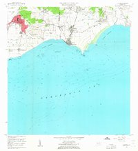
1960 Map of Guayama
USGS Topo · Published 1962About this map
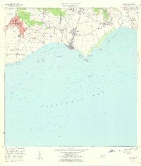
Guayama and its coastal surroundings are defined by the industrial legacy of the sugar era during the early 1960s. The map captures a landscape transitioning between agricultural roots and mid-century development, evidenced by the presence of Central Lafayette and Central Machete. These sugar mills, alongside estates like Hacienda Felicia, once anchored the local economy before the shift toward modern infrastructure. Along the shoreline, maritime navigation is marked by the Faro at Punta Figuras, while the intricate irrigation systems of Canal de Guamani Oeste and Canal de Guamani Este speak to the engineering efforts required to support the local fields. The expansion of Arroyo and the established town centers of Pueblo Oeste and Pueblo Este reflect the growth of residential and public services, including the Escuela Segunda Unidad and a Hospital.
Find a feature on this map
64 named features on this map. Tap any name to fly to it.
Don’t see what you’re looking for? This feature index may not catch every label — zoom into the map to look around manually.
Map Details
Editions of this 1960 Guayama Map
2 editions found
Other maps of this area

1945 · Punta Tuna
USGS Topo · 1:30,000

1945 · Central Aguirre
USGS Topo · 1:30,000

1946 · Patillas
USGS Topo · 1:30,000

1946 · Cayey
USGS Topo · 1:30,000

1946 · Yabucoa
USGS Topo · 1:30,000

1946 · Guayama
USGS Topo · 1:30,000

1947 · Yabucoa SO
USGS Topo · 1:10,000

1947 · Patillas SO
USGS Topo · 1:10,000
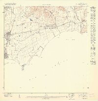
1947 · Guayama NE
USGS Topo · 1:10,000
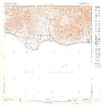
1947 · Punta Tuna NO
USGS Topo · 1:10,000