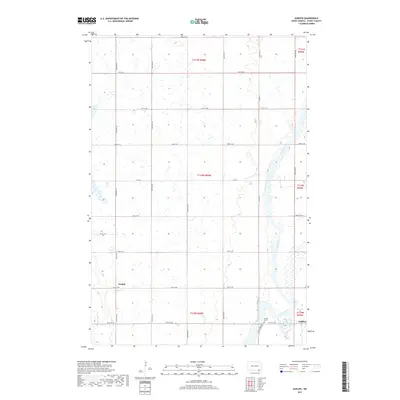
2017 Map of Guelph
USGS Topo · Published 2017About this map
The James River snakes through the eastern portion of this Dickey County landscape, defining the character of the river valley as it transitions into the agricultural grid of North Dakota. In the south, the settlement of Ludden serves as a local focal point near the Ludden Cem, while the community of Guelph sits further west along the section lines. The map reveals a highly structured township system where roads like 97th St SE and 106th Ave SE follow precise mile-intervals, occasionally diverted by the natural course of the water. The drainage patterns and numerous small wetlands illustrated across the quadrangle emphasize the low-lying prairie terrain, providing a look at the rural infrastructure and land divisions that have sustained this part of the state through the early 21st century.
Find a feature on this map
27 named features on this map. Tap any name to fly to it.
Don’t see what you’re looking for? This feature index may not catch every label — zoom into the map to look around manually.
Map Details
Editions of this 2017 Guelph Map
This is the sole edition of this map. No revisions or reprints were ever made.
Other maps of this area

1894 · Hecla
USGS Topo · 1:62,500

1894 · Savo
USGS Topo · 1:62,500

1894 · Fullerton
USGS Topo · 1:62,500

1894 · Oakes
USGS Topo · 1:62,500

1895 · Lamoure
USGS Topo · 1:125,000

1896 · Columbia
USGS Topo · 1:125,000

1918 · La Moure
USGS Topo · 1:125,000

1952 · Glover
USGS Topo · 1:24,000

1952 · Oakes
USGS Topo · 1:24,000

1953 · Jamestown
USGS Topo · 1:250,000