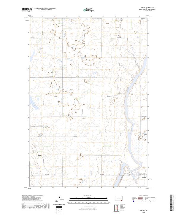
2024 Map of Guelph
USGS Topo · Published 2024About this map
Guelph and Ludden anchor this section of Dickey County, where the agricultural grid meets the winding course of the James River. The landscape is defined by its conservation areas, notably the Dakota Lake National Wildlife Refuge and the sprawling Dickey County Waterfowl Production Area. These protected wetlands and prairie potholes illustrate the region's importance as a migratory corridor. In the southeastern corner, the settlement of Ludden sits near the Ludden Cem, serving as a primary point of interest for local history and genealogical research. The map follows a strict section line road system, including routes like Co Rd 5 and Co Rd 14, which facilitate travel through the expansive waterfowl production blocks that characterize much of the western and central terrain.
Find a feature on this map
29 named features on this map. Tap any name to fly to it.
Don’t see what you’re looking for? This feature index may not catch every label — zoom into the map to look around manually.
Map Details
Editions of this 2024 Guelph Map
This is the sole edition of this map. No revisions or reprints were ever made.
Other maps of this area

1894 · Hecla
USGS Topo · 1:62,500

1894 · Savo
USGS Topo · 1:62,500

1894 · Fullerton
USGS Topo · 1:62,500

1894 · Oakes
USGS Topo · 1:62,500

1895 · Lamoure
USGS Topo · 1:125,000

1896 · Columbia
USGS Topo · 1:125,000

1918 · La Moure
USGS Topo · 1:125,000

1952 · Glover
USGS Topo · 1:24,000

1952 · Oakes
USGS Topo · 1:24,000

1953 · Jamestown
USGS Topo · 1:250,000