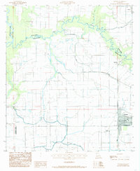
1984 Map of Gueydan
USGS Topo · Published 1985About this map
Gueydan and its surrounding agricultural prairie define this portion of Vermilion Parish during the early 1980s. The landscape is heavily marked by water management systems essential for rice cultivation, featuring an intricate network of siphons, flumes, and levees. Bayou Queue De Tortue meanders across the northern section, serving as a natural boundary between Acadia and Vermilion Parishes, while the Mermentau River defines the western edge of the quadrangle. Smaller settlements like Riceville and Morse anchor the rural infrastructure, connected by a grid of improved roads and canal-side tracks.
Find a feature on this map
15 named features on this map. Tap any name to fly to it.
Don’t see what you’re looking for? This feature index may not catch every label — zoom into the map to look around manually.
Map Details
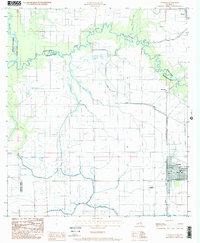
Editions of this 1984 Gueydan Map
2 editions found
Other maps of this area

1946 · Morse
USGS Topo · 1:31,680

1946 · Lake Arthur
USGS Topo · 1:31,680

1946 · Schooner Bayou NW
USGS Topo · 1:31,680

1946 · Mermentau
USGS Topo · 1:31,680

1946 · Jennings
USGS Topo · 1:31,680

1949 · Gueydan
USGS Topo · 1:31,680

1949 · Estherwood
USGS Topo · 1:31,680

1952 · Lake Charles
USGS Topo · 1:250,000

1954 · Grand Lake East NW
USGS Topo · 1:31,680
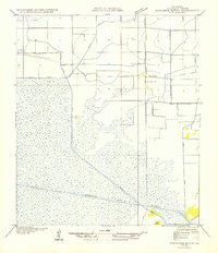
1954 · Schooner Bayou NW
USGS Topo · 1:31,680