
1951 Map of Guilford
USGS Topo · Published 1952About this map
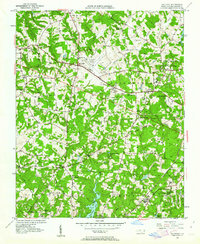
Guilford College serves as a prominent landmark in the northeast of this 1951 landscape, anchoring a community defined by its proximity to emerging transportation hubs and rural traditions. The Greensboro-High Point Airport sits at the heart of the sheet, surrounded by a network of local roads like Friendly Road and established rural settlements such as Friendship and Guilford. The convergence of the Southern railroad and several utility lines, including a significant Telephone Line and Pipe Line, highlights the area's mid-century role as a corridor for infrastructure between major North Carolina centers.
Find a feature on this map
50 named features on this map. Tap any name to fly to it.
Don’t see what you’re looking for? This feature index may not catch every label — zoom into the map to look around manually.
Map Details
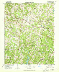
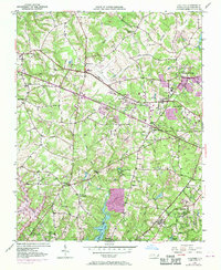
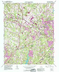
Editions of this 1951 Guilford Map
5 editions found
Other maps of this area

1949 · High Point West
USGS Topo · 1:24,000

1950 · High Point East
USGS Topo · 1:24,000

1951 · High Point East
USGS Topo · 1:24,000

1951 · Lake Brandt
USGS Topo · 1:24,000

1951 · Greensboro
USGS Topo · 1:24,000

1953 · Raleigh
USGS Topo · 1:250,000

1953 · Charlotte
USGS Topo · 1:250,000

1953 · Winston-Salem
USGS Topo · 1:250,000

1953 · Greensboro
USGS Topo · 1:250,000

1954 · Greensboro
USGS Topo · 1:250,000