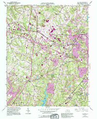
1951 Map of Guilford
USGS Topo · Published 1994About this map
Guilford College serves as the academic and cultural anchor of this Piedmont landscape, appearing here as it transitioned through the mid-20th century. The terrain is defined by the headwaters of the Deep River, including the East Fork Deep River and Brush Creek. A dense network of community centers is evident through numerous rural houses of worship, such as Friendship Ch, New Salem Tabernacle, and Smiths Grove Ch.
Find a feature on this map
34 named features on this map. Tap any name to fly to it.
Don’t see what you’re looking for? This feature index may not catch every label — zoom into the map to look around manually.
Map Details
Editions of this 1951 Guilford Map
5 editions found
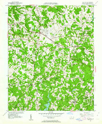
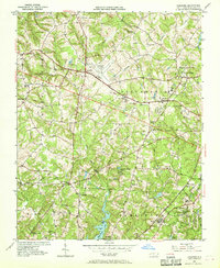
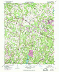
Other maps of this area

1949 · High Point West
USGS Topo · 1:24,000

1950 · High Point East
USGS Topo · 1:24,000

1951 · High Point East
USGS Topo · 1:24,000

1951 · Guilford
USGS Topo · 1:24,000

1951 · Lake Brandt
USGS Topo · 1:24,000

1951 · Greensboro
USGS Topo · 1:24,000

1953 · Raleigh
USGS Topo · 1:250,000

1953 · Charlotte
USGS Topo · 1:250,000

1953 · Winston-Salem
USGS Topo · 1:250,000

1953 · Greensboro
USGS Topo · 1:250,000