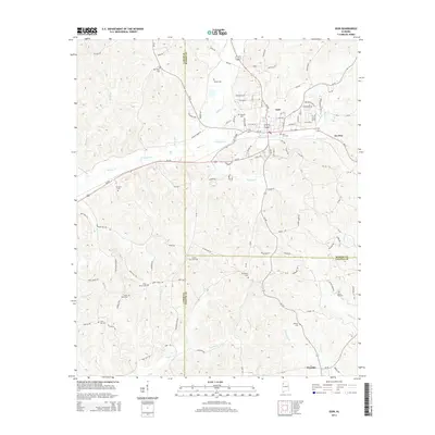
2014 Map of Guin
USGS Topo · Published 2014About this map
Guin serves as the central hub of this Northwest Alabama landscape, situated where several regional routes and the upper reaches of Beaver Cr converge. The topography is defined by a dense network of small waterways, including Purgatory Cr, Wickett Cr, and Coffee Cr, which create a series of hollows and ridges such as Sorghum Hollow. This 2014 representation captures the intersection of three counties—Marion, Lamar, and Fayette—revealing a settlement pattern of small communities like Gu-Win and Wayside interspersed with numerous family and community burial grounds.
Find a feature on this map
125 named features on this map. Tap any name to fly to it.
Don’t see what you’re looking for? This feature index may not catch every label — zoom into the map to look around manually.
Map Details
Editions of this 2014 Guin Map
This is the sole edition of this map. No revisions or reprints were ever made.
Other maps of this area

1953 · Birmingham
USGS Topo · 1:250,000

1953 · West Point
USGS Topo · 1:250,000

1956 · Birmingham
USGS Topo · 1:250,000

1956 · Gadsden
USGS Topo · 1:250,000

1956 · Tupelo
USGS Topo · 1:250,000

1957 · Birmingham
USGS Topo · 1:250,000

1958 · Tupelo
USGS Topo · 1:250,000

1958 · West Point
USGS Topo · 1:250,000

1958 · Gadsden
USGS Topo · 1:250,000

1960 · Gadsden
USGS Topo · 1:250,000