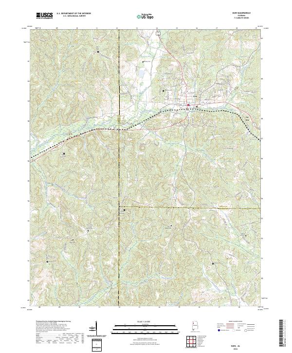
2024 Map of Guin
USGS Topo · Published 2024About this map
Guin and the neighboring community of Gu-Win serve as the primary hubs in this western Alabama landscape, where the borders of Marion, Lamar, and Fayette counties meet. The area is defined by a dense network of watercourses, including the curiously named Purgatory Creek and the long reach of Beaver Creek. A high concentration of family and community burial grounds, such as New Hope Cem and Mount Olive Cem, suggests a deeply rooted local history tied to the land's complex drainage basins.
Find a feature on this map
124 named features on this map. Tap any name to fly to it.
Don’t see what you’re looking for? This feature index may not catch every label — zoom into the map to look around manually.
Map Details
Editions of this 2024 Guin Map
This is the sole edition of this map. No revisions or reprints were ever made.
Other maps of this area

1953 · Birmingham
USGS Topo · 1:250,000

1953 · West Point
USGS Topo · 1:250,000

1956 · Birmingham
USGS Topo · 1:250,000

1956 · Gadsden
USGS Topo · 1:250,000

1956 · Tupelo
USGS Topo · 1:250,000

1957 · Birmingham
USGS Topo · 1:250,000

1958 · Tupelo
USGS Topo · 1:250,000

1958 · West Point
USGS Topo · 1:250,000

1958 · Gadsden
USGS Topo · 1:250,000

1960 · Gadsden
USGS Topo · 1:250,000