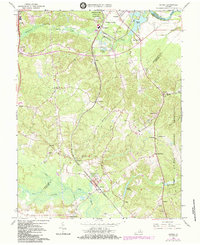
1966 Map of Guinea
USGS Topo · Published 1984About this map
Guinea and its surroundings reflect a landscape deeply shaped by Civil War history and 1960s infrastructure. The Jackson Shrine stands as a central landmark near the Richmond Fredericksburg and Potomac railroad, marking the location of Stonewall Jackson's death. This corridor served as a vital transportation artery connecting Massaponax and Summit to the larger rail network. The map captures the encroachment of modern development through Sewage Disposal Ponds and numerous Gravel Pits, contrasting with preserved commemorative spaces like the Fredericksburg-Spotsylvania Nat Mil Park.
Find a feature on this map
48 named features on this map. Tap any name to fly to it.
Don’t see what you’re looking for? This feature index may not catch every label — zoom into the map to look around manually.
Map Details
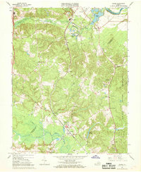
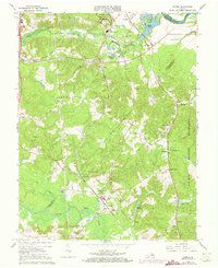
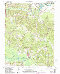
Editions of this 1966 Guinea Map
4 editions found
Other maps of this area

1887 · Spottsylvania
USGS Topo · 1:125,000

1889 · Fredericksburg
USGS Topo · 1:125,000

1892 · Fredericksburg
USGS Topo · 1:125,000

1892 · Spottsylvania
USGS Topo · 1:125,000

1894 · Fredericksburg
USGS Topo · 1:125,000

1926 · Stafford
USGS Topo · 1:62,500

1931 · Stafford
USGS Topo · 1:62,500

1942 · Bowling Green
USGS Topo · 1:31,680

1942 · Woodford
USGS Topo · 1:31,680

1942 · Guinea
USGS Topo · 1:31,680