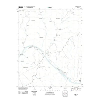
2011 Map of Guion
USGS Topo · Published 2011About this map
The White River carves a deep path through this Ozark landscape, anchoring the settlement of Guion and the river-frontage at Jones Bottom. The terrain is defined by a dense network of hollows and ridges, where family names are etched into the geography at places like Arnold Hollow, Sam Lee Hollow, and Pruitt Hollow. Evidence of early industrial exploration is visible through several mineral prospects, including the G F Fults Prospect and AT Foster Prospect, scattered near the river valley.
Find a feature on this map
78 named features on this map. Tap any name to fly to it.
Don’t see what you’re looking for? This feature index may not catch every label — zoom into the map to look around manually.
Map Details
Editions of this 2011 Guion Map
This is the sole edition of this map. No revisions or reprints were ever made.
Other maps of this area

1890 · Batesville
USGS Topo · 1:125,000

1890 · Mountain Home
USGS Topo · 1:125,000

1891 · Mountain Home
USGS Topo · 1:125,000

1891 · Batesville
USGS Topo · 1:125,000

1892 · Mountain View
USGS Topo · 1:125,000

1894 · Mountain View
USGS Topo · 1:125,000

1894 · Mountain Home
USGS Topo · 1:125,000

1942 · Bethesda
USGS Topo · 1:24,000

1942 · Mt Pleasant
USGS Topo · 1:31,680

1945 · Harrison
USGS Topo · 1:250,000