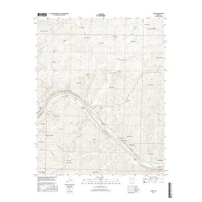
2017 Map of Guion
USGS Topo · Published 2017About this map
The White River carves a deep path through the Ozark landscape of northern Arkansas, separating the southern reaches of Izard County from Stone County. At the center of this terrain sits Guion, a settlement defined by the river’s bend and the surrounding bluffs. To the north, the topography is punctuated by prominent heights such as Cypert Mtn and Wolf Den Mtn, while the drainage system of Rocky Bayou and its branches like E Rocky Bayou create a complex network of hollows including Wolf Den Hollow and Pentecost Hollow.
Find a feature on this map
85 named features on this map. Tap any name to fly to it.
Don’t see what you’re looking for? This feature index may not catch every label — zoom into the map to look around manually.
Map Details
Editions of this 2017 Guion Map
This is the sole edition of this map. No revisions or reprints were ever made.
Other maps of this area
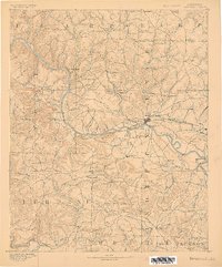
1890 · Batesville
USGS Topo · 1:125,000
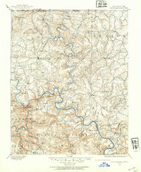
1890 · Mountain Home
USGS Topo · 1:125,000
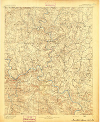
1891 · Mountain Home
USGS Topo · 1:125,000
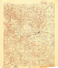
1891 · Batesville
USGS Topo · 1:125,000
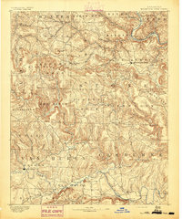
1892 · Mountain View
USGS Topo · 1:125,000
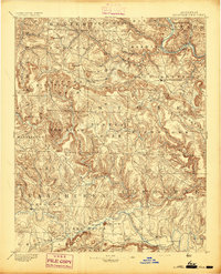
1894 · Mountain View
USGS Topo · 1:125,000
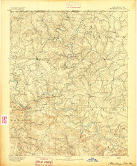
1894 · Mountain Home
USGS Topo · 1:125,000
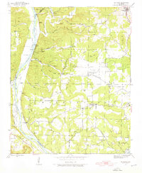
1942 · Bethesda
USGS Topo · 1:24,000
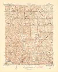
1942 · Mt Pleasant
USGS Topo · 1:31,680

1945 · Harrison
USGS Topo · 1:250,000