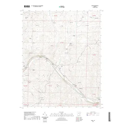
2020 Map of Guion
USGS Topo · Published 2020About this map
The White River carves a deep path through the southern portion of this landscape, marking the boundary between Izard Co and Stone Co. This river corridor serves as the primary artery for settlement and transport, with the town of Guion situated along its northern bank. The surrounding terrain is defined by a dense network of hollows and ridges, including Cypert Mtn and Wolf Den Mtn, which have historically dictated the placement of roads and small communities like Nasco and Wolquarry.
Find a feature on this map
90 named features on this map. Tap any name to fly to it.
Don’t see what you’re looking for? This feature index may not catch every label — zoom into the map to look around manually.
Map Details
Editions of this 2020 Guion Map
This is the sole edition of this map. No revisions or reprints were ever made.
Other maps of this area

1890 · Batesville
USGS Topo · 1:125,000

1890 · Mountain Home
USGS Topo · 1:125,000

1891 · Mountain Home
USGS Topo · 1:125,000

1891 · Batesville
USGS Topo · 1:125,000

1892 · Mountain View
USGS Topo · 1:125,000

1894 · Mountain View
USGS Topo · 1:125,000

1894 · Mountain Home
USGS Topo · 1:125,000

1942 · Bethesda
USGS Topo · 1:24,000

1942 · Mt Pleasant
USGS Topo · 1:31,680

1945 · Harrison
USGS Topo · 1:250,000