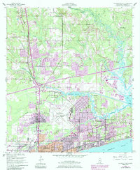
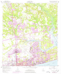
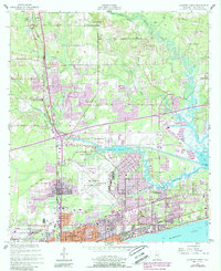
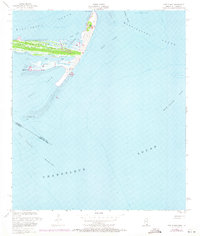
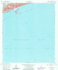
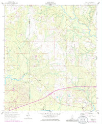
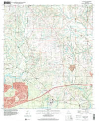
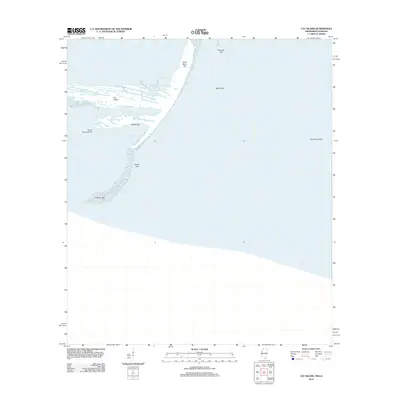
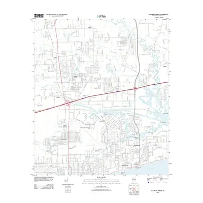
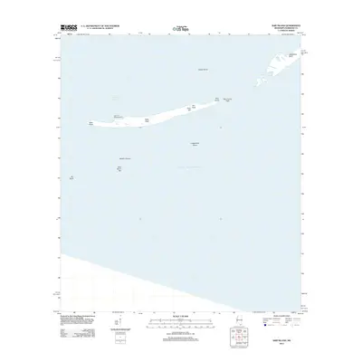
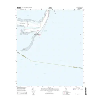
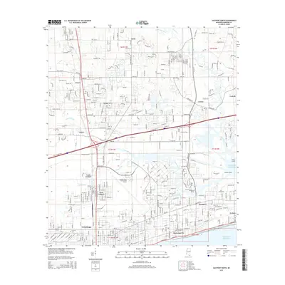
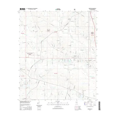
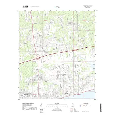
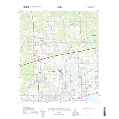
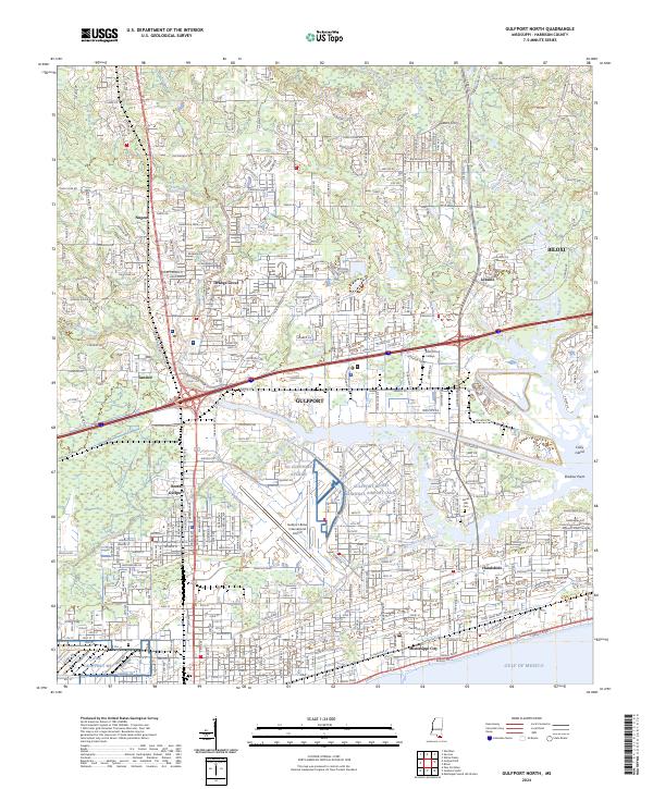
1954 Map of Gulfport North
USGS Topo · Published 1985About this map
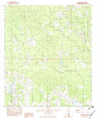
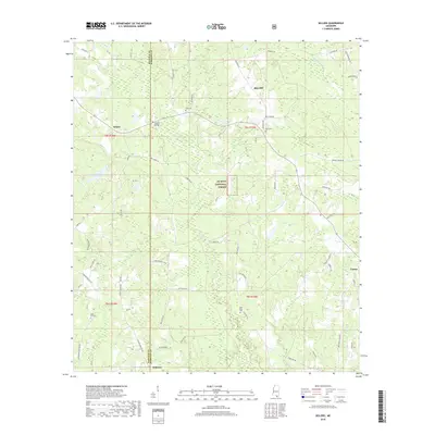
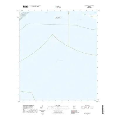
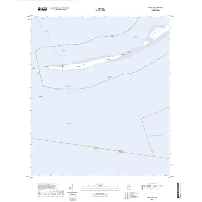
Gulfport and its northern reaches are captured here during a period of transition as the Mississippi coast expanded northward into the piney woods. The map shows the established waterfront communities of Mississippi City and Handsboro connected by the Seaboard and Illinois Central Gulf railroads. Significant land use is dedicated to the U S Naval Reservation and the Gulfport-Biloxi Regional Airport, while the northern landscape remains dominated by rural settlements like Lyman and Nugent. The course of Bernard Bayou serves as a central artery for the area, flowing past the Handsboro Bridge toward Big Lake. Researchers will find notable local landmarks such as Turkey Creek Sch, Evergreen Cem, and the Veterans Hospital, documenting the social and institutional infrastructure of the mid-century coast.
Find a feature on this map
51 named features on this map. Tap any name to fly to it.
Don’t see what you’re looking for? This feature index may not catch every label — zoom into the map to look around manually.
Map Details
Editions of this 1954 Gulfport North Map
6 editions found
Historical Maps of Gulfport Through Time
86 maps found
1950 Dog Keys Pass
Harrison County, MS
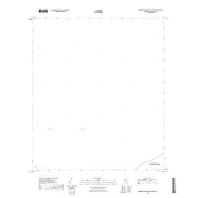
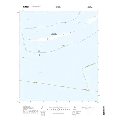
1950 Ship Island
Harrison County, MS
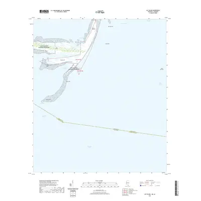
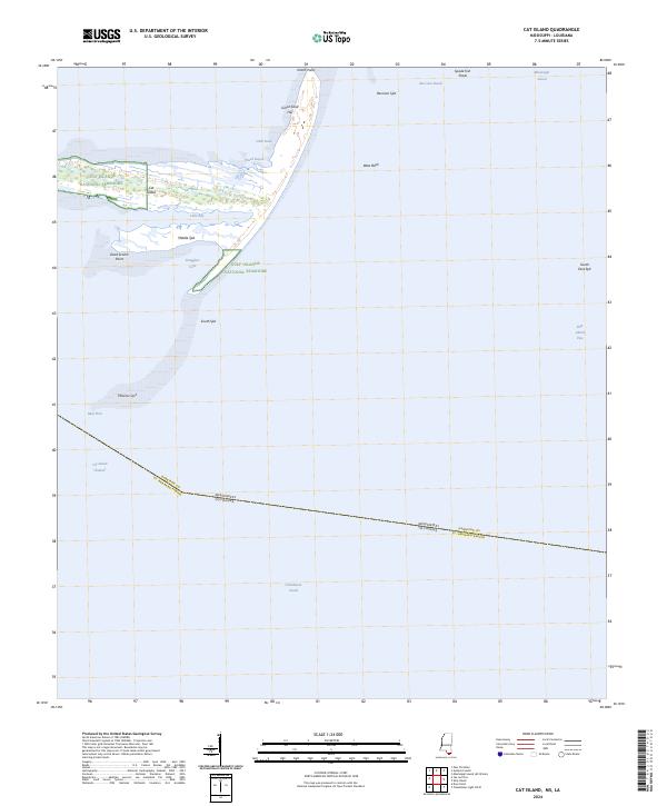
1951 Cat Island
Harrison County, MS

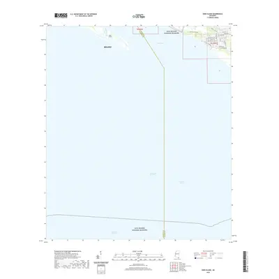
1954 Deer Island
Harrison County, MS
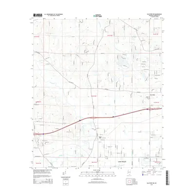
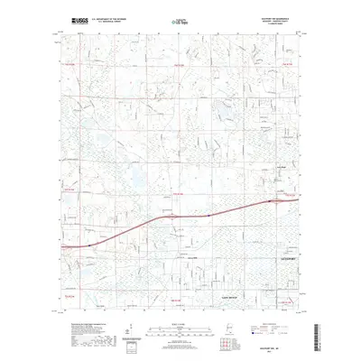
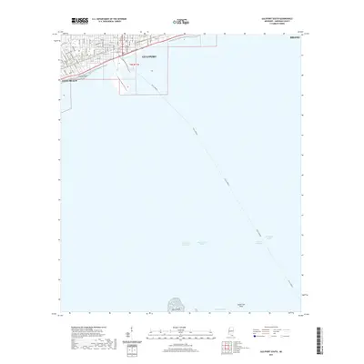
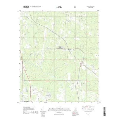
1954 Gulfport North
Harrison County, MS
1954 Gulfport South
Harrison County, MS
1954 McHenry
Harrison County, MS
1956 Gulfport NW
Harrison County, MS
1956 Vidalia
Harrison County, MS
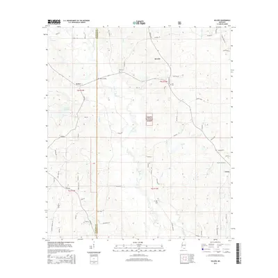
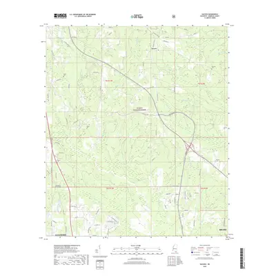
1982 Sellers
Harrison County, MS
1982 Success
Harrison County, MS
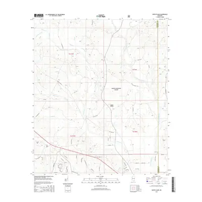
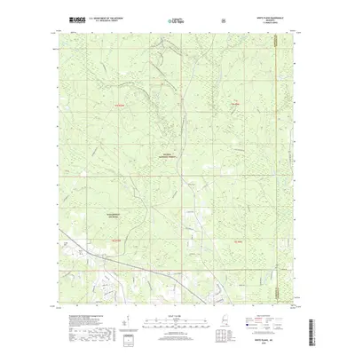
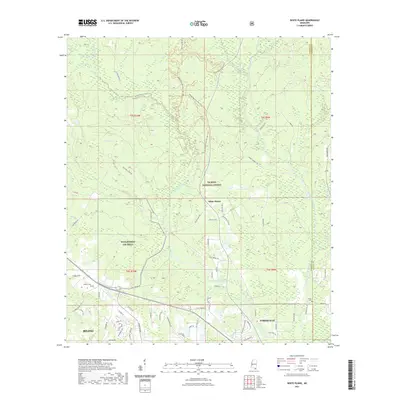
1982 White Plains
Harrison County, MS
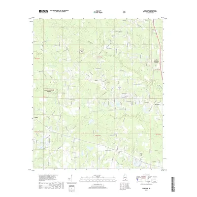
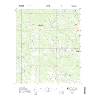
1983 Wortham
Harrison County, MS
1994 Cat Island
Harrison County, MS
1994 Gulfport North
Harrison County, MS
1994 Gulfport South
Harrison County, MS
1997 Dedeaux
Harrison County, MS
1997 Gulfport NW
Harrison County, MS
2000 Success
Harrison County, MS
2000 Wortham
Harrison County, MS
2012 Cat Island
Harrison County, MS
2012 Dedeaux
Harrison County, MS
2012 Deer Island
Harrison County, MS
2012 Dog Keys Pass
Harrison County, MS
2012 Gulfport North
Harrison County, MS
2012 Gulfport NW
Harrison County, MS
2012 Gulfport South
Harrison County, MS
2012 Sellers
Harrison County, MS
2012 Ship Island
Harrison County, MS
2012 Success
Harrison County, MS
2012 White Plains
Harrison County, MS
2012 Wortham
Harrison County, MS
2015 Cat Island
Harrison County, MS
2015 Dedeaux
Harrison County, MS
2015 Deer Island
Harrison County, MS
2015 Dog Keys Pass
Harrison County, MS
2015 Gulfport North
Harrison County, MS
2015 Gulfport NW
Harrison County, MS
2015 Gulfport South
Harrison County, MS
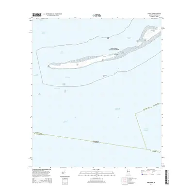
2015 Mississippi Sound (All Water)
Harrison County, MS
2015 Sellers
Harrison County, MS
2015 Ship Island
Harrison County, MS
2015 Success
Harrison County, MS
2015 White Plains
Harrison County, MS
2015 Wortham
Harrison County, MS
2018 Cat Island
Harrison County, MS
2018 Dedeaux
Harrison County, MS
2018 Deer Island
Harrison County, MS
2018 Dog Keys Pass
Harrison County, MS
2018 Gulfport North
Harrison County, MS
2018 Gulfport NW
Harrison County, MS
2018 Gulfport South
Harrison County, MS
2018 Mississippi Sound (All Water)
Harrison County, MS
2018 Sellers
Harrison County, MS
2018 Ship Island
Harrison County, MS
2018 Success
Harrison County, MS
2018 White Plains
Harrison County, MS
2018 Wortham
Harrison County, MS
2020 Cat Island
Harrison County, MS
2020 Deer Island
Harrison County, MS
2020 Dog Keys Pass
Harrison County, MS
2020 Mississippi Sound (All Water)
Harrison County, MS
2020 Ship Island
Harrison County, MS
2021 Dedeaux
Harrison County, MS
2021 Gulfport North
Harrison County, MS
2021 Gulfport NW
Harrison County, MS
2021 Gulfport South
Harrison County, MS
2021 Sellers
Harrison County, MS
2021 Success
Harrison County, MS
2021 White Plains
Harrison County, MS
2021 Wortham
Harrison County, MS
2024 Cat Island
Harrison County, MS
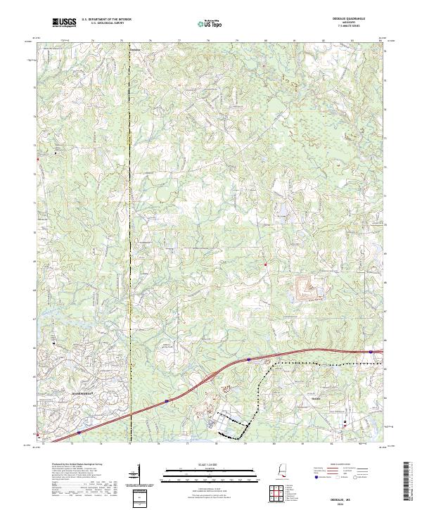
2024 Dedeaux
Harrison County, MS
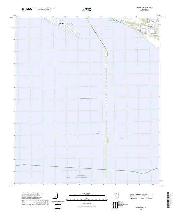
2024 Deer Island
Harrison County, MS
2024 Dog Keys Pass
Harrison County, MS
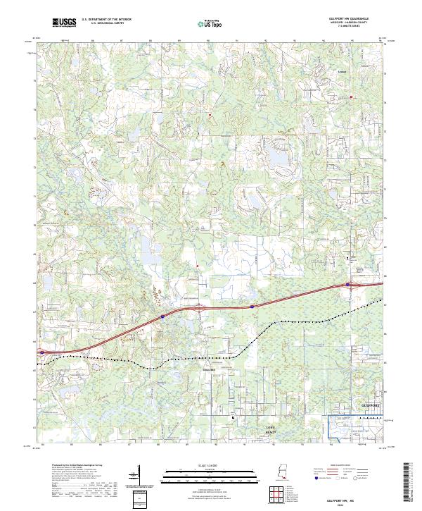
2024 Gulfport North
Harrison County, MS
2024 Gulfport NW
Harrison County, MS
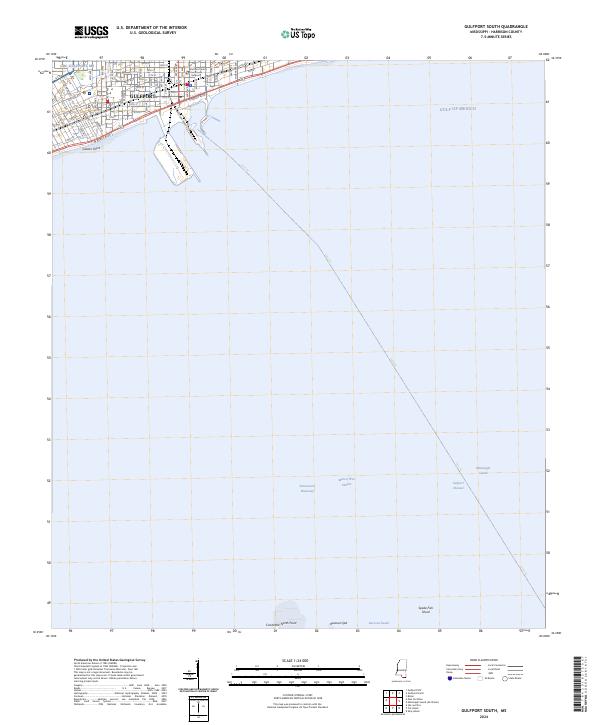
2024 Gulfport South
Harrison County, MS
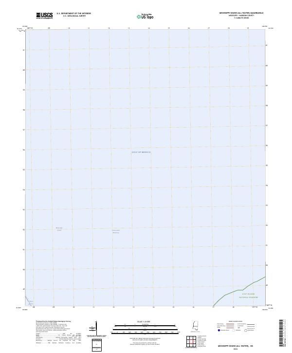
2024 Mississippi Sound (All Water)
Harrison County, MS
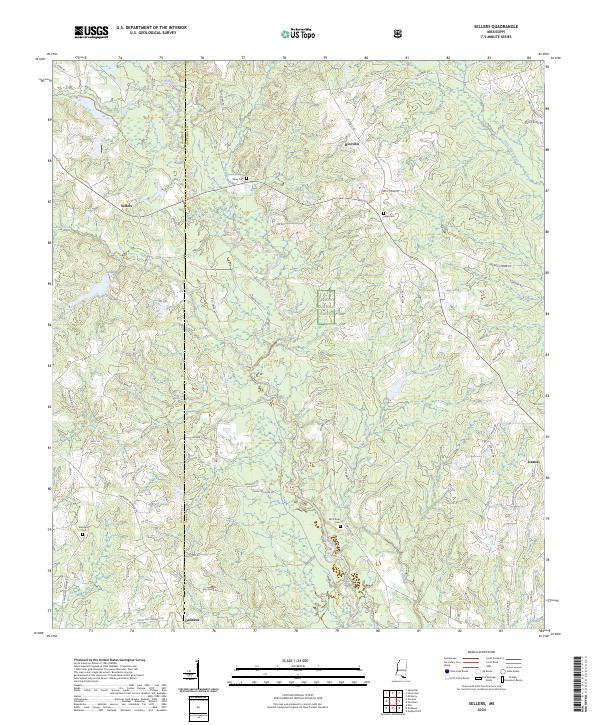
2024 Sellers
Harrison County, MS
2024 Ship Island
Harrison County, MS
2024 Success
Harrison County, MS
2024 White Plains
Harrison County, MS
2024 Wortham
Harrison County, MS
2025 Dog Keys Pass
Harrison County, MS
2025 Ship Island
Harrison County, MS