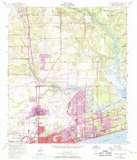
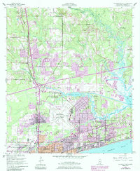
1954 Map of Gulfport North
USGS Topo · Published 1971About this map
The Illinois Central railroad cuts south through the piney woods toward the Mississippi Sound, anchoring a corridor of growth from Lyman and Nugent down to the coastal hub of Gulfport. This mid-century landscape is defined by the transition from the protected timberlands of the De Soto National Forest to the industrial and naval infrastructure near the shore. The 1970 photorevisions reveal the expansion of residential patterns around Handsboro and Mississippi City, as well as the developing Gulfport Airport.
Find a feature on this map
39 named features on this map. Tap any name to fly to it.
Don’t see what you’re looking for? This feature index may not catch every label — zoom into the map to look around manually.
Map Details
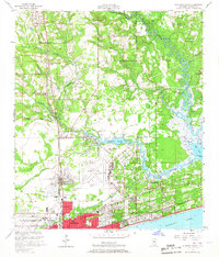
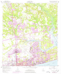
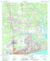
Editions of this 1954 Gulfport North Map
6 editions found
Other maps of this area

1953 · Mobile
USGS Topo · 1:250,000

1954 · Vestry
USGS Topo · 1:62,500

1954 · McHenry
USGS Topo · 1:62,500

1954 · Gulfport North
USGS Topo · 1:24,000

1954 · Gulfport South
USGS Topo · 1:24,000

1954 · Biloxi
USGS Topo · 1:24,000

1954 · Biloxi
USGS Topo · 1:62,500

1955 · Pass Christian
USGS Topo · 1:24,000

1956 · Gulfport NW
USGS Topo · 1:24,000

1957 · Mobile
USGS Topo · 1:250,000