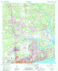
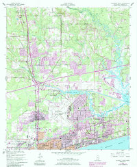
1954 Map of Gulfport North
USGS Topo · Published 1985About this map
The coastal landscapes of the Mississippi Sound meet the industrial expansion of the mid-20th century in this survey of Harrison County. The Gulfport-Biloxi Regional Airport sits as a central hub, surrounded by a complex network of waterways including the winding Bernard Bayou and Turkey Creek. Urban development is concentrated along the southern shoreline in Gulfport and Mississippi City, while the northern reaches maintain a more rural character with settlements like Lyman and Wool Market.
Find a feature on this map
50 named features on this map. Tap any name to fly to it.
Don’t see what you’re looking for? This feature index may not catch every label — zoom into the map to look around manually.
Map Details
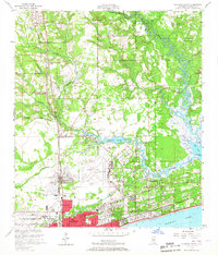
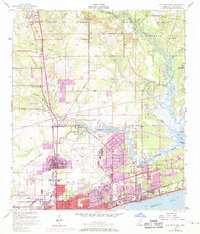
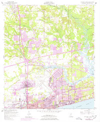
Editions of this 1954 Gulfport North Map
6 editions found
Other maps of this area

1953 · Mobile
USGS Topo · 1:250,000

1954 · Vestry
USGS Topo · 1:62,500

1954 · McHenry
USGS Topo · 1:62,500

1954 · Gulfport North
USGS Topo · 1:24,000

1954 · Gulfport South
USGS Topo · 1:24,000

1954 · Biloxi
USGS Topo · 1:24,000

1954 · Biloxi
USGS Topo · 1:62,500

1955 · Pass Christian
USGS Topo · 1:24,000

1956 · Gulfport NW
USGS Topo · 1:24,000

1957 · Mobile
USGS Topo · 1:250,000