
1956 Map of Gulfport NW
USGS Topo · Published 1960About this map
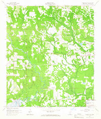
The Alexander Dimitry Claim cuts a diagonal boundary across this Harrison County landscape, reflecting the intricate history of land titles in coastal Mississippi. In the mid-1950s, the area northwest of Gulfport remained largely rural, defined by the winding course of the Wolf River and its tributaries like Big Creek and Flat Branch. Smaller communities and landmarks are scattered throughout the piney woods, including New Hope and Jones Mill, while institutional presence is marked by the County Farm and the northern edge of a U S Naval Reservation near Canal No 1. Local heritage is anchored by several rural congregations and burying grounds, such as Gulf Haven Ch Cem, Allen Cem, and the Michael Memorial Ch. Drainage patterns are visible through works like the Levee systems and artificial waterways including Canal No 2, which support the low-lying terrain near Turkey Creek.
Find a feature on this map
19 named features on this map. Tap any name to fly to it.
Don’t see what you’re looking for? This feature index may not catch every label — zoom into the map to look around manually.
Map Details
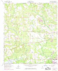
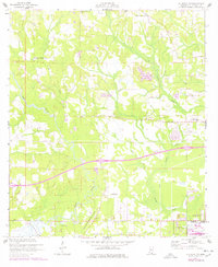
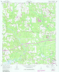
Editions of this 1956 Gulfport NW Map
5 editions found
Other maps of this area

1953 · Mobile
USGS Topo · 1:250,000

1954 · McHenry
USGS Topo · 1:62,500

1954 · Gulfport North
USGS Topo · 1:24,000

1954 · Gulfport South
USGS Topo · 1:24,000

1955 · Savannah
USGS Topo · 1:62,500

1955 · Pass Christian
USGS Topo · 1:24,000

1956 · Bay St. Louis
USGS Topo · 1:24,000

1956 · Vidalia
USGS Topo · 1:24,000

1957 · Mobile
USGS Topo · 1:250,000

1960 · Mobile
USGS Topo · 1:250,000