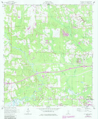
1956 Map of Gulfport NW
USGS Topo · Published 1985About this map
The Alexander Dimitry Claim defines a significant portion of the landscape south of the Wolf River, marking an era of historical land grants that shaped this coastal Mississippi interior. Just north of the growing communities of Gulfport and Long Beach, the map captures a transition from rural timber and farm lands to early suburban expansion. Significant local landmarks include Jones Mill and the U S Naval Reservation at the southern edge, while the spiritual and social life of the area is represented by Our Lady of Mercy Ch and Michael Memorial Ch. The hydrological network is well-defined, showing the paths of Turkey Creek, Big Creek, and the Bernard Bayou. This 1956 survey, later updated with photorevisions, provides researchers with a look at the region's development before the intense coastal urbanization of the late 20th century.
Find a feature on this map
25 named features on this map. Tap any name to fly to it.
Don’t see what you’re looking for? This feature index may not catch every label — zoom into the map to look around manually.
Map Details
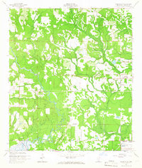
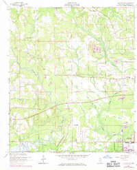
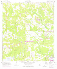
Editions of this 1956 Gulfport NW Map
5 editions found
Other maps of this area

1953 · Mobile
USGS Topo · 1:250,000

1954 · McHenry
USGS Topo · 1:62,500

1954 · Gulfport North
USGS Topo · 1:24,000

1954 · Gulfport South
USGS Topo · 1:24,000

1955 · Savannah
USGS Topo · 1:62,500

1955 · Pass Christian
USGS Topo · 1:24,000

1956 · Bay St. Louis
USGS Topo · 1:24,000

1956 · Vidalia
USGS Topo · 1:24,000

1956 · Gulfport NW
USGS Topo · 1:24,000

1957 · Mobile
USGS Topo · 1:250,000