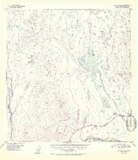
1952 Map of Gulkana A-6
USGS Topo · Published 1952About this map
The Glenn Highway cuts through the southern reach of this landscape, serving as a vital corridor through a territory defined by complex glacial drainages and isolated outposts. Near the intersection of this roadway and Mendeltna Creek, the Mendeltna Lodge and Ryan Lodge represent the thin veneer of human settlement in the early 1950s, surrounded by an intricate network of water bodies including Old Man Lake and Nickoli Lake.
Find a feature on this map
25 named features on this map. Tap any name to fly to it.
Don’t see what you’re looking for? This feature index may not catch every label — zoom into the map to look around manually.
Map Details
Editions of this 1952 Gulkana A-6 Map
2 editions found
Other maps of this area

1948 · Anchorage D-1
USGS Topo · 1:63,360

1949 · Gulkana A-5
USGS Topo · 1:63,360

1949 · Talkeetna Mountains A-1
USGS Topo · 1:63,360

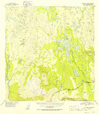
1949 · Gulkana A-6
USGS Topo · 1:63,360

1949 · Valdez D-8
USGS Topo · 1:63,360

1949 · Valdez D-7
USGS Topo · 1:63,360

1950 · Talkeetna Mountains
USGS Topo · 1:250,000

1950 · Gulkana B-6
USGS Topo · 1:63,360

1951 · Gulkana
USGS Topo · 1:250,000

1951 · Valdez D-7
USGS Topo · 1:63,360