
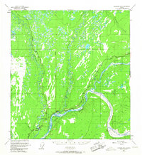
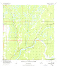
1950 Map of Gulkana B-3
USGS Topo · Published 1962About this map
The confluence of the Gulkana River, Gakona River, and the Copper River forms the geographic heart of this 1950 Alaskan interior survey. The mapping reveals a sparse but critical transportation network where the Richardson Highway meets the Glenn Highway, centering on the settlement of Gakona. Near the junction, a Landing Strip and a Gravel Pit indicate the essential infrastructure required for remote territorial life. The landscape is dominated by complex water systems, including the Sanford River and Tulsona Creek, interspersed with numerous unnamed lakes and marshes. To the south, the settlement of Gulkana and the Big Timber area mark established hubs along the highway route. Numerous bench marks, such as BM 1378, provide precise elevation data across this transition from river valley to upland plains, following the path of the Copper River Meridian.
Find a feature on this map
40 named features on this map. Tap any name to fly to it.
Don’t see what you’re looking for? This feature index may not catch every label — zoom into the map to look around manually.
Map Details
Editions of this 1950 Gulkana B-3 Map
3 editions found
Other maps of this area

1949 · Gulkana A-3
USGS Topo · 1:63,360

1949 · Gulkana C-2
USGS Topo · 1:63,360

1949 · Gulkana B-2
USGS Topo · 1:63,360

1950 · Gulkana C-3
USGS Topo · 1:63,360

1950 · Gulkana C-4
USGS Topo · 1:63,360

1951 · Gulkana
USGS Topo · 1:250,000

1951 · Gulkana A-4
USGS Topo · 1:63,360

1951 · Gulkana B-4
USGS Topo · 1:63,360

1952 · Gulkana A-3
USGS Topo · 1:63,360

1952 · Gulkana B-3
USGS Topo · 1:63,360