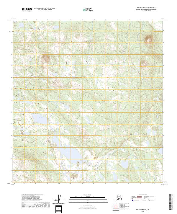
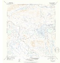
2023 Map of Gulkana B-6 NW
USGS Topo · Published 2023About this map
Lily Lake and Moore Lake serve as the primary landmarks in this undeveloped stretch of the Matanuska-Susitna Borough. The landscape is defined by the complex surveying grids of the Public Land Survey System, specifically marking the transition between t7n r9w and t8n r9w. This part of the Copper River basin remains largely roadless, reflecting the remote interior wilderness of Alaska. The topography consists of numerous unnamed ridges and low-lying wetlands, typical of the glacial terrain found north of the Glenn Highway corridor. While devoid of permanent settlements or structures, the map provides a precise record of the natural hydrography and elevation contours essential for bush pilots, backcountry navigators, and those monitoring changes in the subarctic environment.
Find a feature on this map
8 named features on this map. Tap any name to fly to it.
Don’t see what you’re looking for? This feature index may not catch every label — zoom into the map to look around manually.
Map Details
Editions of this 2023 Gulkana B-6 NW Map
This is the sole edition of this map. No revisions or reprints were ever made.
Other maps of this area

1950 · Talkeetna Mountains
USGS Topo · 1:250,000

1950 · Gulkana B-6
USGS Topo · 1:63,360

1951 · Gulkana
USGS Topo · 1:250,000

1951 · Talkeetna Mountains B-1
USGS Topo · 1:63,360

1951 · Talkeetna Mountains C-1
USGS Topo · 1:63,360

1951 · Gulkana C-6
USGS Topo · 1:63,360
1952 · Gulkana B-6
USGS Topo · 1:63,360
1952 · Talkeetna Mountains C-1
USGS Topo · 1:63,360
1952 · Talkeetna Mountains B-1
USGS Topo · 1:63,360
1952 · Gulkana C-6
USGS Topo · 1:63,360