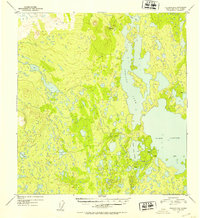
1952 Map of Gulkana B-6
USGS Topo · Published 1953About this map
Glacial lakes and complex shorelines dominate this early 1950s survey of the Matanuska-Susitna region. The interconnected waters of Susitna Lake and Lake Louise form a massive aquatic network, separated only by narrow channels and small islands. This landscape, mapped from 1950 aerial photography, shows a wilderness primarily accessible by water or air, with a few isolated cabins scattered along the southern shores of Little Lake Louise. High points such as VABM Bollinger provide the only significant relief in a terrain otherwise defined by muskeg and smaller water bodies like Grayling Lake and Curtis Lake. To the north, Tyone Lake marks the edge of this watershed, illustrating the remote character of the Alaskan interior before modern highway development significantly altered local accessibility.
Find a feature on this map
8 named features on this map. Tap any name to fly to it.
Don’t see what you’re looking for? This feature index may not catch every label — zoom into the map to look around manually.
Map Details
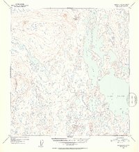
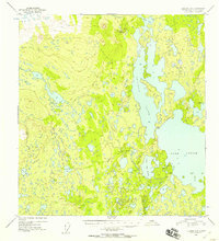
Editions of this 1952 Gulkana B-6 Map
3 editions found
Other maps of this area

1949 · Gulkana A-5
USGS Topo · 1:63,360

1949 · Talkeetna Mountains A-1
USGS Topo · 1:63,360

1949 · Gulkana A-6
USGS Topo · 1:63,360

1950 · Talkeetna Mountains
USGS Topo · 1:250,000

1950 · Gulkana B-6
USGS Topo · 1:63,360

1951 · Gulkana
USGS Topo · 1:250,000

1951 · Talkeetna Mountains B-1
USGS Topo · 1:63,360

1951 · Gulkana B-5
USGS Topo · 1:63,360

1951 · Gulkana C-5
USGS Topo · 1:63,360

1951 · Talkeetna Mountains C-1
USGS Topo · 1:63,360