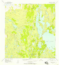
1952 Map of Gulkana B-6
USGS Topo · Published 1958About this map
The vast lake systems of the Susitna River headwaters dominate this 1950s terrain, where the expansive waters of Lake Louise and Susitna Lake meet a landscape of intricate small lakes and marshes. Surveyed shortly after the war, the map reveals a wilderness with minimal human footprints, characterized primarily by scattered Cabins along the western shore of Lake Louise. These remote structures suggest the early seasonal or subsistence use of the area before modern development reached this part of the interior. To the north and west, the terrain becomes increasingly complex with smaller water bodies like Tyone Lake, Little Lake Louise, and the isolated Grayling Lake. This map provides a detailed look at the hydrology and topographical relief of the region during a period when it remained largely accessible only by air or water.
Find a feature on this map
7 named features on this map. Tap any name to fly to it.
Don’t see what you’re looking for? This feature index may not catch every label — zoom into the map to look around manually.
Map Details
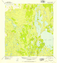
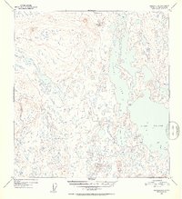
Editions of this 1952 Gulkana B-6 Map
3 editions found
Other maps of this area

1949 · Gulkana A-5
USGS Topo · 1:63,360

1949 · Talkeetna Mountains A-1
USGS Topo · 1:63,360

1949 · Gulkana A-6
USGS Topo · 1:63,360

1950 · Talkeetna Mountains
USGS Topo · 1:250,000

1950 · Gulkana B-6
USGS Topo · 1:63,360

1951 · Gulkana
USGS Topo · 1:250,000

1951 · Talkeetna Mountains B-1
USGS Topo · 1:63,360

1951 · Gulkana B-5
USGS Topo · 1:63,360

1951 · Gulkana C-5
USGS Topo · 1:63,360

1951 · Talkeetna Mountains C-1
USGS Topo · 1:63,360