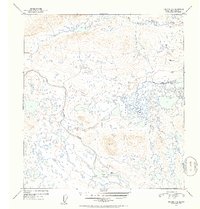
1952 Map of Gulkana C-6
USGS Topo · Published 1953About this map
Tyone Village sits along the southern shore of Tyone Lake, serving as a focal point for this interior Alaskan landscape mapped in the early 1950s. The region is defined by a complex network of glacial lakes and the meandering course of the Tyone River, which flows northwest through the central portion of the quadrangle. To the north, the West Fork Gulkana River cuts across the terrain, illustrating the intricate drainage patterns of the Copper River Basin. Surveyors established high-altitude control points such as VABM 3531 Tyone and VABM 2680 Wonderly to manage the challenging topography. The map reveals a wilderness largely devoid of modern roads, emphasizing the reliance on natural water corridors and traditional settlement locations for navigation and residency during this era.
Find a feature on this map
6 named features on this map. Tap any name to fly to it.
Don’t see what you’re looking for? This feature index may not catch every label — zoom into the map to look around manually.
Map Details
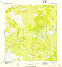
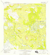
Editions of this 1952 Gulkana C-6 Map
3 editions found
Other maps of this area

1950 · Talkeetna Mountains
USGS Topo · 1:250,000

1950 · Gulkana B-6
USGS Topo · 1:63,360

1951 · Gulkana
USGS Topo · 1:250,000

1951 · Gulkana D-6
USGS Topo · 1:63,360

1951 · Talkeetna Mountains B-1
USGS Topo · 1:63,360

1951 · Gulkana B-5
USGS Topo · 1:63,360

1951 · Gulkana D-5
USGS Topo · 1:63,360

1951 · Gulkana C-5
USGS Topo · 1:63,360

1951 · Talkeetna Mountains C-1
USGS Topo · 1:63,360

1951 · Talkeetna Mountains D-1
USGS Topo · 1:63,360