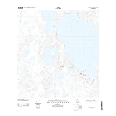
2013 Map of Gulkana B-6 SE
USGS Topo · Published 2013About this map
Lake Louise dominates this landscape in the Matanuska-Susitna Borough, where a network of vast waterways and localized settlements define the interior wilderness. The settlement of Lake Louise itself serves as a hub, connected by the Lake Louise Rd and featuring the Lake Louise Airport, reflecting the area's reliance on aviation for regional access. Small outposts and residential areas like Twin Spruce Lodge and Kadok Landing are situated along the eastern shoreline, providing localized access to the water near the Lake Louise Access Rd.
Find a feature on this map
19 named features on this map. Tap any name to fly to it.
Don’t see what you’re looking for? This feature index may not catch every label — zoom into the map to look around manually.
Map Details
Editions of this 2013 Gulkana B-6 SE Map
This is the sole edition of this map. No revisions or reprints were ever made.
Other maps of this area
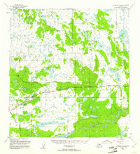
1949 · Gulkana A-5
USGS Topo · 1:63,360
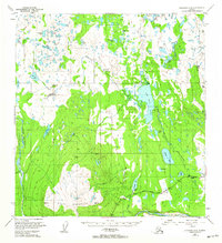
1949 · Gulkana A-6
USGS Topo · 1:63,360
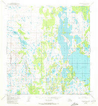
1950 · Gulkana B-6
USGS Topo · 1:63,360
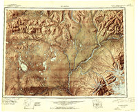
1951 · Gulkana
USGS Topo · 1:250,000
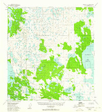
1951 · Gulkana B-5
USGS Topo · 1:63,360
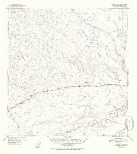
1952 · Gulkana A-5
USGS Topo · 1:63,360
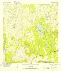
1952 · Gulkana A-6
USGS Topo · 1:63,360
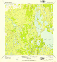
1952 · Gulkana B-6
USGS Topo · 1:63,360
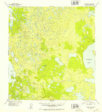
1952 · Gulkana B-5
USGS Topo · 1:63,360
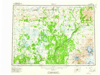
1959 · Gulkana
USGS Topo · 1:250,000