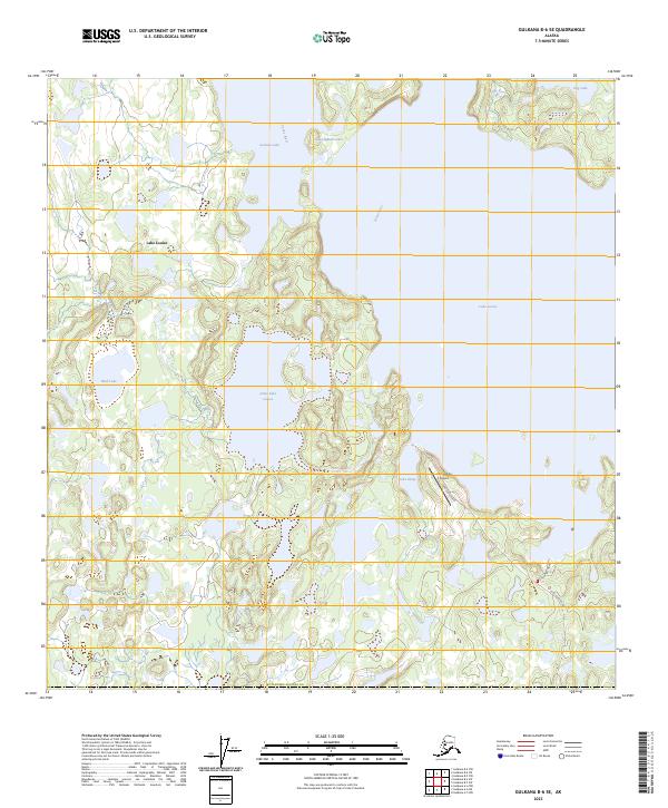
2023 Map of Gulkana B-6 SE
USGS Topo · Published 2023About this map
Lake Louise and Little Lake Louise dominate this landscape within the Matanuska-Susitna Co region. The complex hydrography of the area is defined by a network of interconnected water bodies, including Susitna Lake and the Tyone River, which flows through the northern reaches. This 2023 survey illustrates the modern layout of the Lake Louise Airport and the local road system, which remains relatively sparse, centered primarily on Lake Louise Road and Evergreen Drive. The presence of indigenous place names like Nekey'dghinic'et'den alongside localized identifiers such as Lake Dinty and Mud Lake highlights the intersection of traditional geography and contemporary local navigation in this part of Alaska. The map provides a detailed view of the township and range divisions across the lake-dotted terrain.
Find a feature on this map
18 named features on this map. Tap any name to fly to it.
Don’t see what you’re looking for? This feature index may not catch every label — zoom into the map to look around manually.
Map Details
Editions of this 2023 Gulkana B-6 SE Map
This is the sole edition of this map. No revisions or reprints were ever made.
Other maps of this area

1949 · Gulkana A-5
USGS Topo · 1:63,360

1949 · Gulkana A-6
USGS Topo · 1:63,360

1950 · Gulkana B-6
USGS Topo · 1:63,360

1951 · Gulkana
USGS Topo · 1:250,000

1951 · Gulkana B-5
USGS Topo · 1:63,360

1952 · Gulkana A-5
USGS Topo · 1:63,360
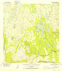
1952 · Gulkana A-6
USGS Topo · 1:63,360
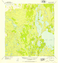
1952 · Gulkana B-6
USGS Topo · 1:63,360
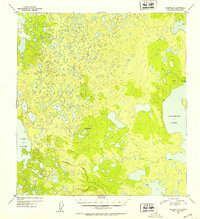
1952 · Gulkana B-5
USGS Topo · 1:63,360

1959 · Gulkana
USGS Topo · 1:250,000