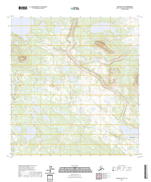
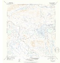
2023 Map of Gulkana C-6 SW
USGS Topo · Published 2023About this map
The Tyone River winds across this interior landscape within the Matanuska-Susitna region, carving a path through a territory defined by intricate hydrography and wetland systems. This 2023 survey details a high-elevation plateau where the river flows toward the southeast, eventually meeting the waters of Tyone Lake and the northern tip of Lake Louise. The area is organized by the Public Land Survey System, showing the grid boundaries for t9n r9w and t10n r9w among others. Unlike developed coastal regions, this terrain is characterized by numerous small, unnamed lakes and ponds, indicating a permafrost-influenced drainage pattern typical of the Alaskan subarctic. The lack of primary roads or established settlements highlights the isolated nature of this watershed, making it a critical reference for understanding contemporary hydrological boundaries in the Copper River Basin drainage.
Find a feature on this map
12 named features on this map. Tap any name to fly to it.
Don’t see what you’re looking for? This feature index may not catch every label — zoom into the map to look around manually.
Map Details
Editions of this 2023 Gulkana C-6 SW Map
This is the sole edition of this map. No revisions or reprints were ever made.
Other maps of this area

1950 · Talkeetna Mountains
USGS Topo · 1:250,000

1950 · Gulkana B-6
USGS Topo · 1:63,360

1951 · Gulkana
USGS Topo · 1:250,000

1951 · Talkeetna Mountains B-1
USGS Topo · 1:63,360

1951 · Talkeetna Mountains C-1
USGS Topo · 1:63,360

1951 · Gulkana C-6
USGS Topo · 1:63,360
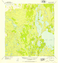
1952 · Gulkana B-6
USGS Topo · 1:63,360
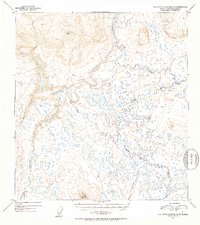
1952 · Talkeetna Mountains C-1
USGS Topo · 1:63,360
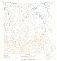
1952 · Talkeetna Mountains B-1
USGS Topo · 1:63,360
1952 · Gulkana C-6
USGS Topo · 1:63,360