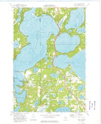
1973 Map of Gull Lake
USGS Topo · Published 1976About this map
Gull Lake dominates this central Minnesota landscape, its shoreline dotted with recreational landmarks and seasonal settlements during the early 1970s. The region serves as a prominent resort destination, evidenced by the clustered cabins and public access points around Nisswa and Lake Shore. To the south, the Gull River drains the reservoir system, passing through a terrain defined by glacial kettle lakes like Round Lake and North Long Lake.
Find a feature on this map
53 named features on this map. Tap any name to fly to it.
Don’t see what you’re looking for? This feature index may not catch every label — zoom into the map to look around manually.
Map Details
Editions of this 1973 Gull Lake Map
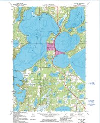
2 editions found
Other maps of this area

1915 · Brainerd
USGS Topo · 1:62,500

1916 · Pillager
USGS Topo · 1:62,500

1918 · Brainerd
USGS Topo · 1:62,500

1919 · Pillager
USGS Topo · 1:62,500

1953 · Brainerd
USGS Topo · 1:250,000

1954 · Baxter
USGS Topo · 1:24,000

1954 · Pillager
USGS Topo · 1:24,000

1957 · Brainerd
USGS Topo · 1:250,000

1958 · Brainerd
USGS Topo · 1:250,000

1959 · Pelican Lake
USGS Topo · 1:24,000