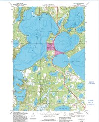
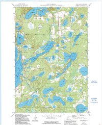
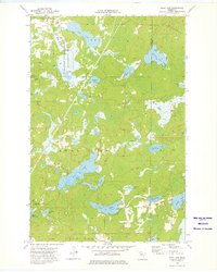
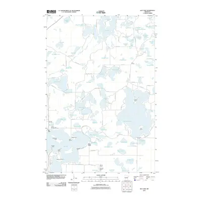
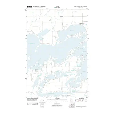
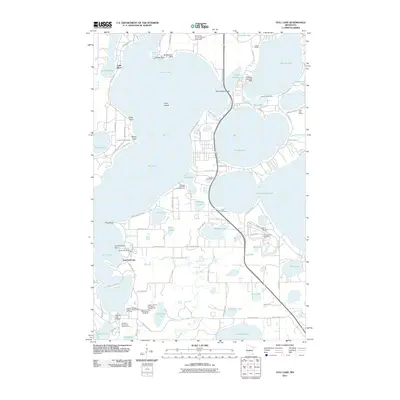
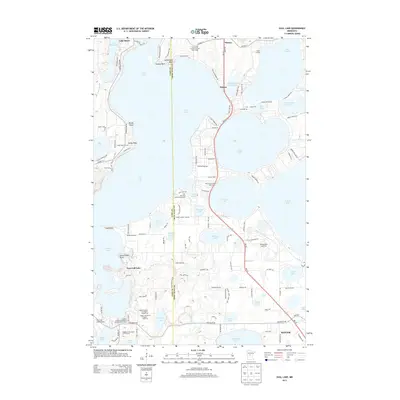
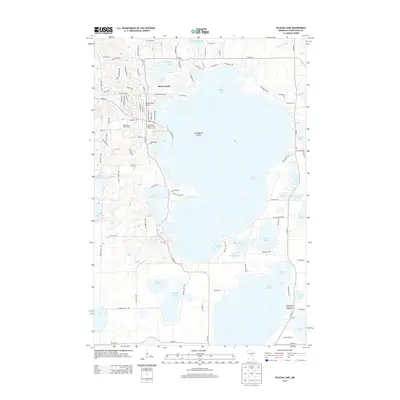
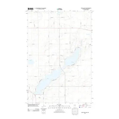
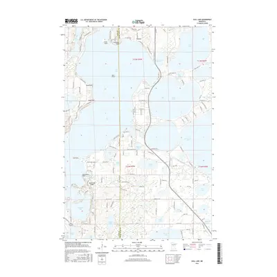
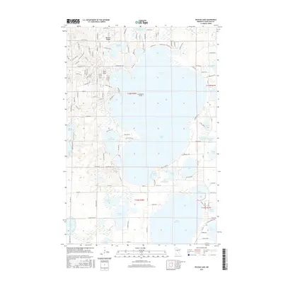
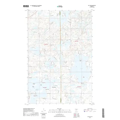
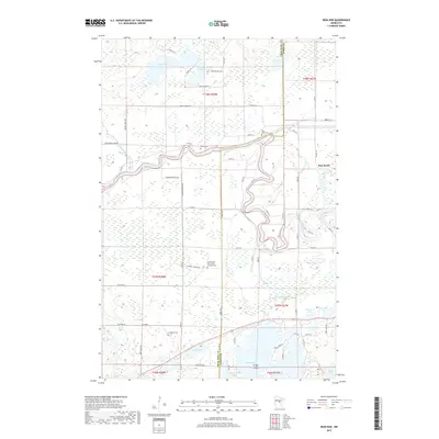
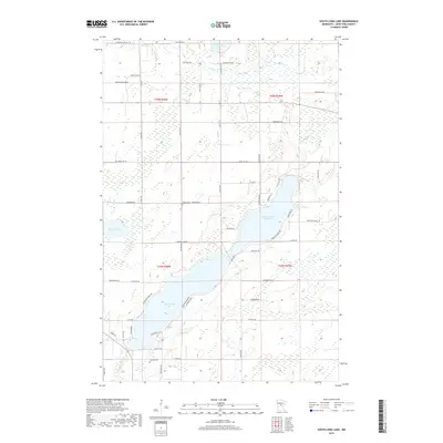
1973 Map of Gull Lake
USGS Topo · Published 1995About this map
Gull Lake dominates this landscape on the border of Cass and Crow Wing counties, defining a region where water and recreation intersect. The map records the development of lakeside communities like Nisswa, Lake Shore, and East Gull Lake during a period of transition in the early 1970s, with later updates from the 1990s visible. Cultural landmarks such as the Donnybrooke Speedway and a Drive-in Theater along highway 371 reflect the mid-century leisure economy that transformed the area.
Find a feature on this map
48 named features on this map. Tap any name to fly to it.
Don’t see what you’re looking for? This feature index may not catch every label — zoom into the map to look around manually.
Map Details
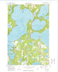
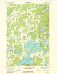
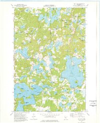
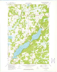
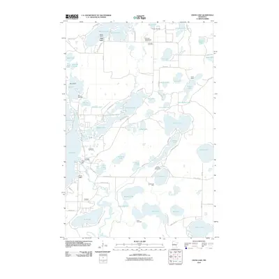
Editions of this 1973 Gull Lake Map
2 editions found
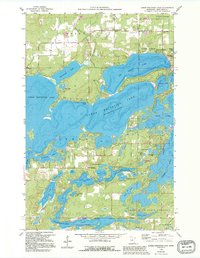
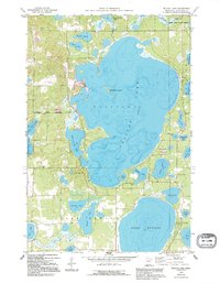
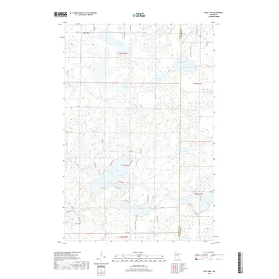
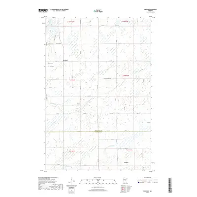
Historical Maps of Baxter Through Time
72 maps found
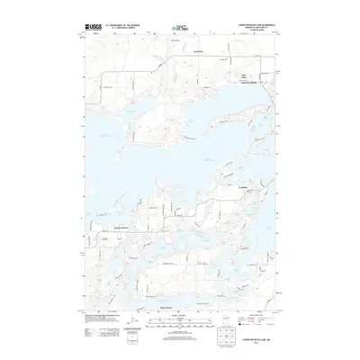
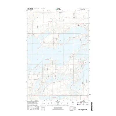
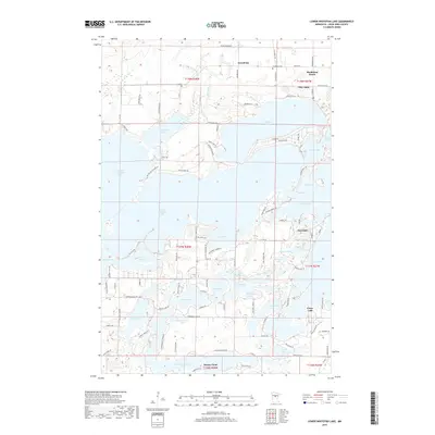
1959 Lower Whitefish Lake
Crow Wing County, MN
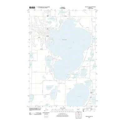
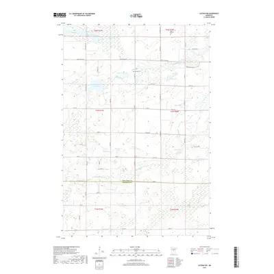
1959 Pelican Lake
Crow Wing County, MN
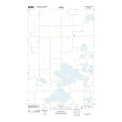
1960 Cross Lake
Crow Wing County, MN
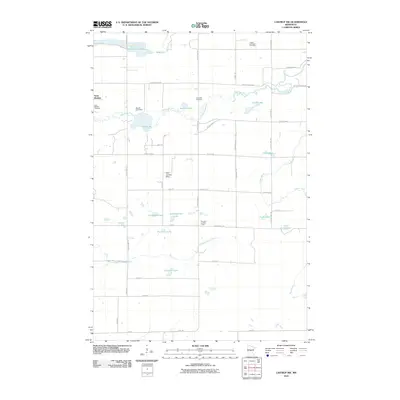
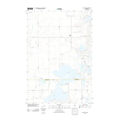
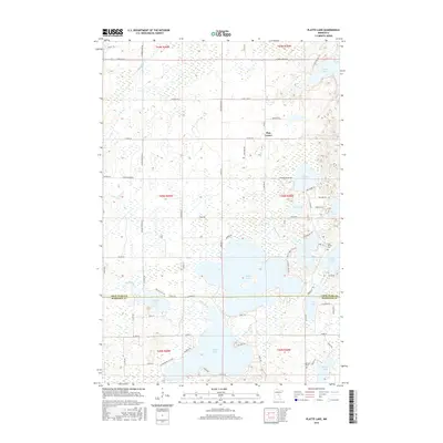
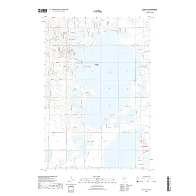
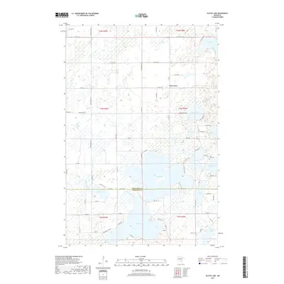
1968 Platte Lake
Crow Wing County, MN
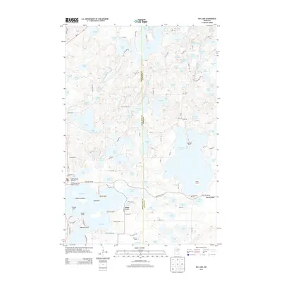
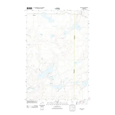
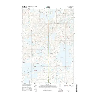
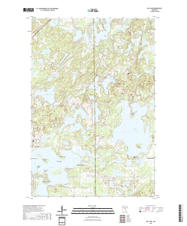
1973 Bay Lake
Crow Wing County, MN

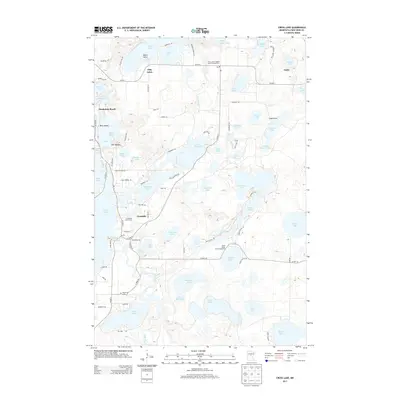
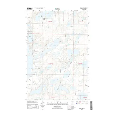
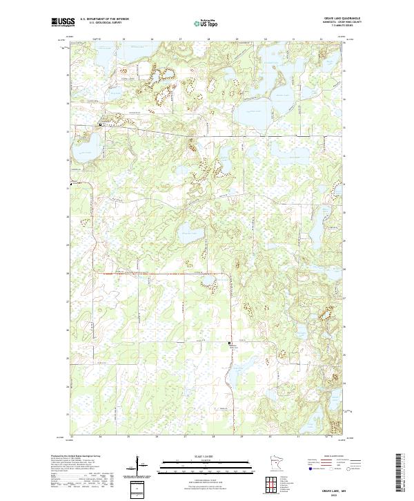
1973 Grave Lake
Crow Wing County, MN
1973 Gull Lake
Crow Wing County, MN
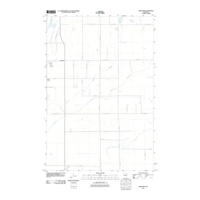
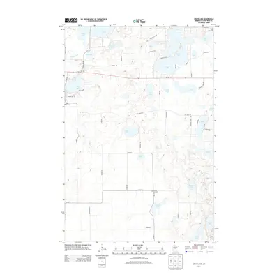
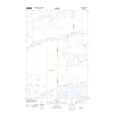
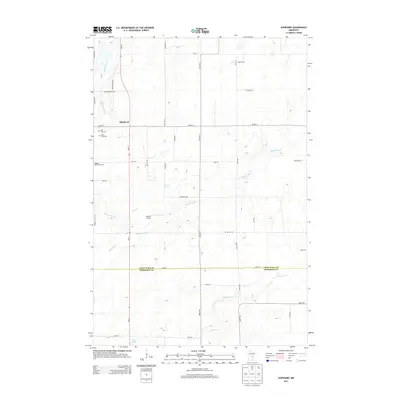
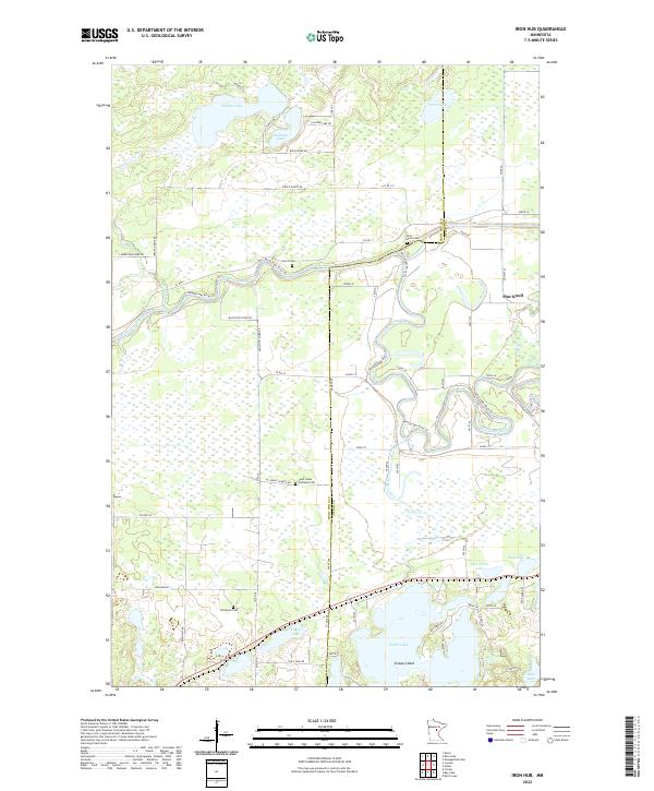
1973 Iron Hub
Crow Wing County, MN
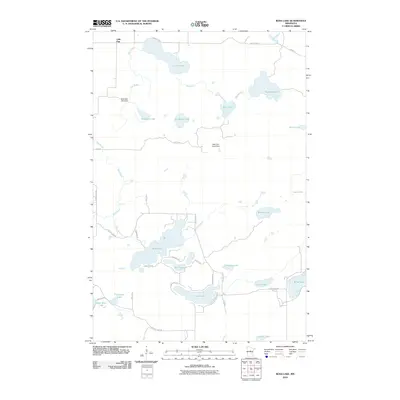
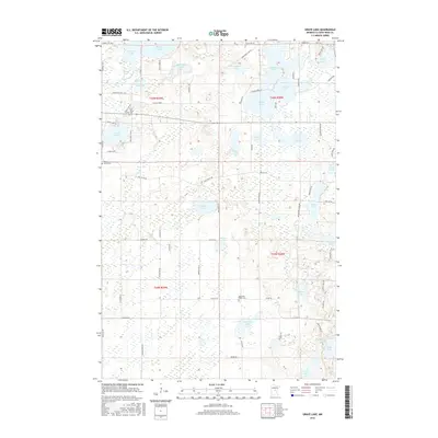
1973 Ross Lake
Crow Wing County, MN
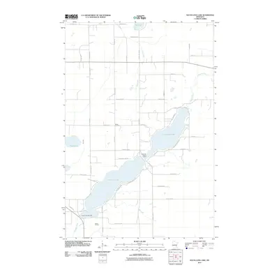
1973 South Long Lake
Crow Wing County, MN
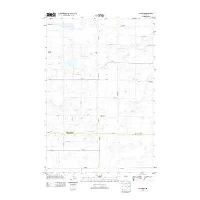
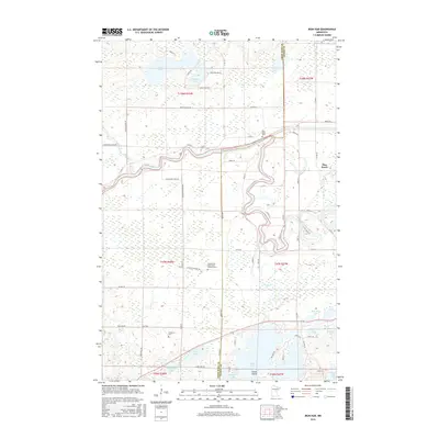
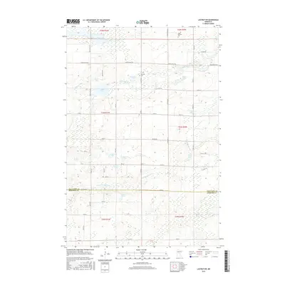
1981 Lastrup NW
Crow Wing County, MN
1981 Shephard
Crow Wing County, MN
2010 Bay Lake
Crow Wing County, MN
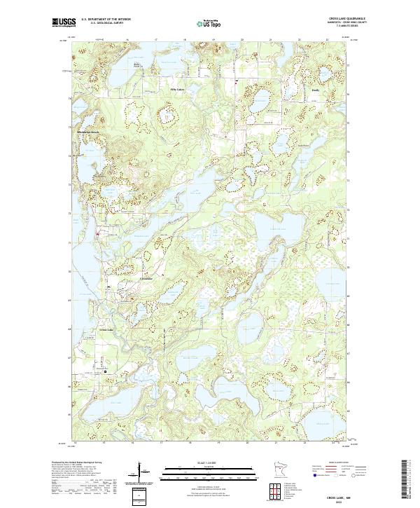
2010 Cross Lake
Crow Wing County, MN
2010 Grave Lake
Crow Wing County, MN
2010 Iron Hub
Crow Wing County, MN
2010 Lastrup NW
Crow Wing County, MN
2010 Lower Whitefish Lake
Crow Wing County, MN
2010 Pelican Lake
Crow Wing County, MN
2010 Platte Lake
Crow Wing County, MN
2010 Ross Lake
Crow Wing County, MN
2010 Shephard
Crow Wing County, MN
2010 South Long Lake
Crow Wing County, MN
2011 Gull Lake
Crow Wing County, MN
2013 Bay Lake
Crow Wing County, MN
2013 Cross Lake
Crow Wing County, MN
2013 Grave Lake
Crow Wing County, MN
2013 Gull Lake
Crow Wing County, MN
2013 Iron Hub
Crow Wing County, MN
2013 Lastrup NW
Crow Wing County, MN
2013 Lower Whitefish Lake
Crow Wing County, MN
2013 Pelican Lake
Crow Wing County, MN
2013 Platte Lake
Crow Wing County, MN
2013 Ross Lake
Crow Wing County, MN
2013 Shephard
Crow Wing County, MN
2013 South Long Lake
Crow Wing County, MN
2016 Bay Lake
Crow Wing County, MN
2016 Cross Lake
Crow Wing County, MN
2016 Grave Lake
Crow Wing County, MN
2016 Gull Lake
Crow Wing County, MN
2016 Iron Hub
Crow Wing County, MN
2016 Lastrup NW
Crow Wing County, MN
2016 Lower Whitefish Lake
Crow Wing County, MN
2016 Pelican Lake
Crow Wing County, MN
2016 Platte Lake
Crow Wing County, MN
2016 Ross Lake
Crow Wing County, MN
2016 Shephard
Crow Wing County, MN
2016 South Long Lake
Crow Wing County, MN
2019 Bay Lake
Crow Wing County, MN
2019 Cross Lake
Crow Wing County, MN
2019 Grave Lake
Crow Wing County, MN
2019 Gull Lake
Crow Wing County, MN
2019 Iron Hub
Crow Wing County, MN
2019 Lastrup NW
Crow Wing County, MN
2019 Lower Whitefish Lake
Crow Wing County, MN
2019 Pelican Lake
Crow Wing County, MN
2019 Platte Lake
Crow Wing County, MN
2019 Ross Lake
Crow Wing County, MN
2019 Shephard
Crow Wing County, MN
2019 South Long Lake
Crow Wing County, MN
2022 Bay Lake
Crow Wing County, MN
2022 Cross Lake
Crow Wing County, MN
2022 Grave Lake
Crow Wing County, MN
2022 Iron Hub
Crow Wing County, MN
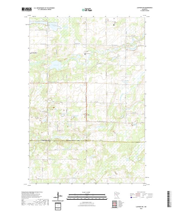
2022 Lastrup NW
Crow Wing County, MN
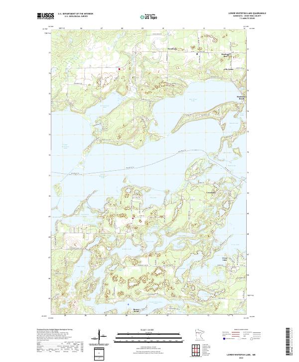
2022 Lower Whitefish Lake
Crow Wing County, MN
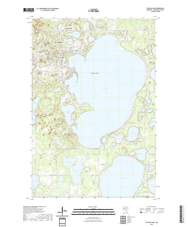
2022 Pelican Lake
Crow Wing County, MN
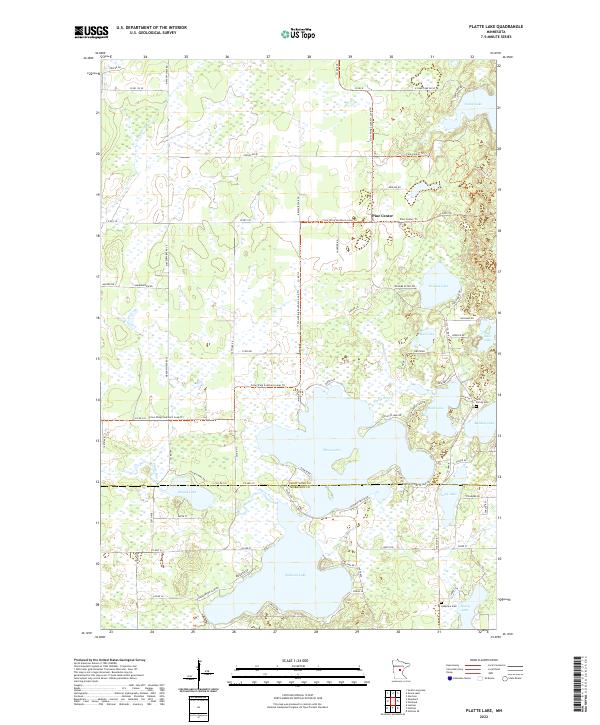
2022 Platte Lake
Crow Wing County, MN
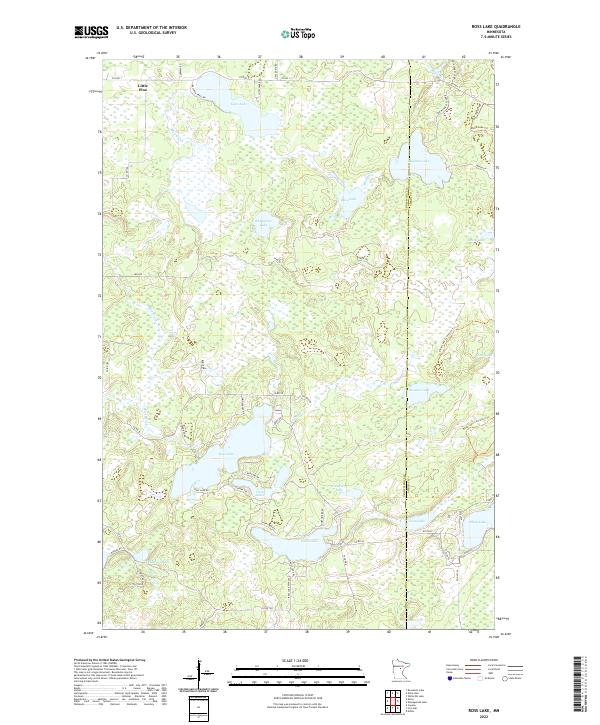
2022 Ross Lake
Crow Wing County, MN
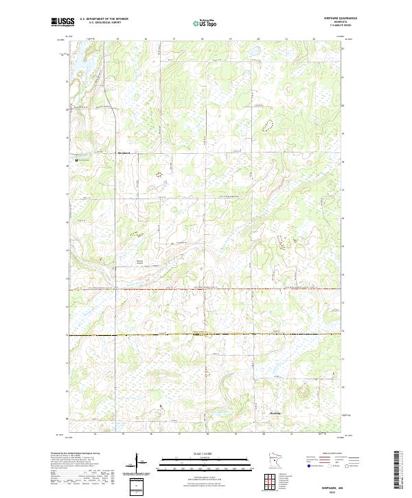
2022 Shephard
Crow Wing County, MN
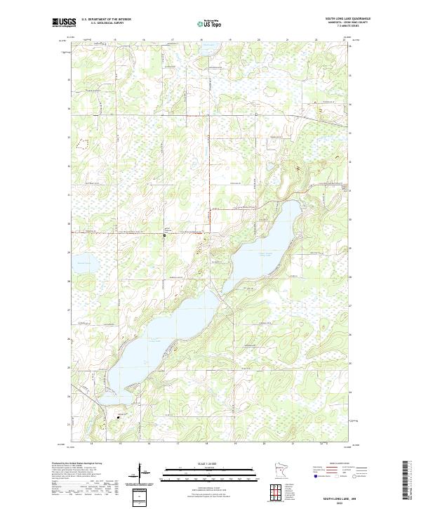
2022 South Long Lake
Crow Wing County, MN
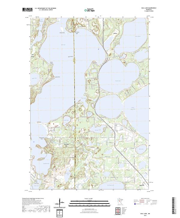
2023 Gull Lake
Crow Wing County, MN