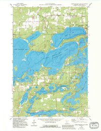
1959 Map of Lower Whitefish Lake
USGS Topo · Published 1995About this map
The complex shoreline of Lower Whitefish Lake and its surrounding glacial kettle lakes define this northern Minnesota landscape as it appeared in the late 1950s. The settlement pattern reveals a transition from the agricultural roots of Swanburg to the burgeoning recreational identity of Manhattan Beach and Breezy Point. A dense network of small water bodies like Dewdrop Lake, Hooligans Hole, and Pecks Puddle are interspersed with family-named landmarks and local centers such as Ideal Corners.
Find a feature on this map
51 named features on this map. Tap any name to fly to it.
Don’t see what you’re looking for? This feature index may not catch every label — zoom into the map to look around manually.
Map Details
Editions of this 1959 Lower Whitefish Lake Map
3 editions found
Other maps of this area

1953 · Brainerd
USGS Topo · 1:250,000

1957 · Brainerd
USGS Topo · 1:250,000

1958 · Brainerd
USGS Topo · 1:250,000

1959 · Trommald
USGS Topo · 1:24,000

1959 · Pelican Lake
USGS Topo · 1:24,000

1959 · Nisswa
USGS Topo · 1:24,000

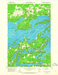
1959 · Lower Whitefish Lake
USGS Topo · 1:24,000

1959 · Jenkins
USGS Topo · 1:24,000

1960 · Cross Lake
USGS Topo · 1:24,000

1965 · Brainerd
USGS Topo · 1:250,000
Featured Places
- Breezy Point, MN
- Fifty Lakes, MN
- Manhattan Beach, MN
- Golden Harbor Mobile Home Park, MN
- Sunset Bay Trailer Park, MN