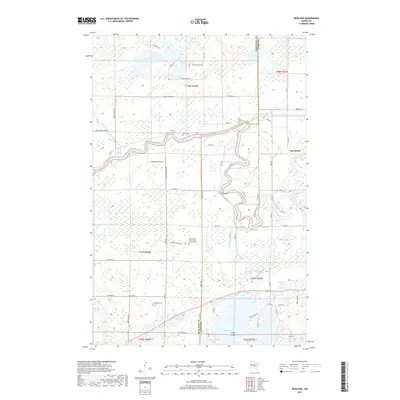
2019 Map of Iron Hub
USGS Topo · Published 2019About this map
The Mississippi River winds through the heart of this landscape along the border of Crow Wing and Aitkin Counties, defining the drainage patterns for numerous surrounding wetlands and lakes. In the northern reaches, Nelson Lake and Sullivan Lake sit among a network of rural roads like Spruce Grove Rd and Sullivan Lake Rd. The settlement of Pine Knoll is situated in the east, while the small community of Iron Hub anchors the southwestern corner. This area is notably dense with small rural burial grounds, providing significant genealogical value for those researching the early families of the region. Sites include the Cedarbrook - Saint John's Lutheran Cem, Immanuel Cem, Carroll Cem, and Pine Knoll Cem. To the south, the terrain transitions into more lake-dominated geography near Cedar Lake, which contains the distinct Grape Island.
Find a feature on this map
71 named features on this map. Tap any name to fly to it.
Don’t see what you’re looking for? This feature index may not catch every label — zoom into the map to look around manually.
Map Details
Editions of this 2019 Iron Hub Map
This is the sole edition of this map. No revisions or reprints were ever made.
Other maps of this area
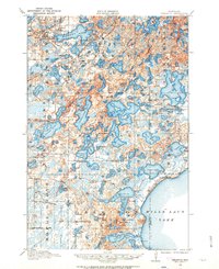
1912 · Deerwood
USGS Topo · 1:62,500
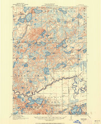
1913 · Cuyuna
USGS Topo · 1:62,500
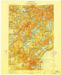
1914 · Deerwood
USGS Topo · 1:62,500
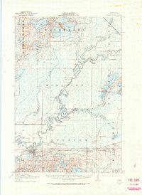
1914 · Aitkin
USGS Topo · 1:62,500
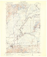
1915 · Aitkin
USGS Topo · 1:62,500
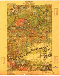
1915 · Cuyuna
USGS Topo · 1:62,500
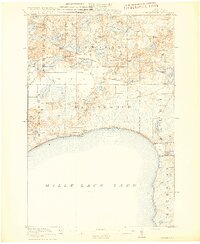
1916 · Wealthwood
USGS Topo · 1:62,500
1953 · Duluth
USGS Topo · 1:250,000
1958 · Duluth
USGS Topo · 1:250,000
1973 · Emily
USGS Topo · 1:24,000