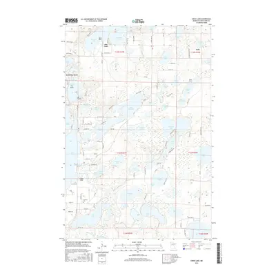
2016 Map of Cross Lake
USGS Topo · Published 2016About this map
Fifty Lakes and Manhattan Beach are central to this 2016 survey, which documents the intricate hydrography of Crow Wing County. The landscape is defined by its interconnected water bodies, including the wide expanse of Whitefish Lake and the smaller East Fox Lake and West Fox Lake joined at The Narrows. A dense network of local roads like Daggett Pine Rd and Tall Timbers Trl weaves through a terrain dotted with named features such as The Needles and Berg Island. Further south, the Pine River Reservoir and Pinewood Cem near Cross Lake point to the area's established residential and recreational layout. The map also captures the eastern settlement of Emily, providing a detailed look at the township lines of T138N and T137N and the varied wetland environments like Big Bog and Bailey Bog.
Find a feature on this map
105 named features on this map. Tap any name to fly to it.
Don’t see what you’re looking for? This feature index may not catch every label — zoom into the map to look around manually.
Map Details
Editions of this 2016 Cross Lake Map
This is the sole edition of this map. No revisions or reprints were ever made.
Other maps of this area

1913 · Cuyuna
USGS Topo · 1:62,500

1915 · Cuyuna
USGS Topo · 1:62,500

1953 · Duluth
USGS Topo · 1:250,000

1953 · Brainerd
USGS Topo · 1:250,000

1957 · Brainerd
USGS Topo · 1:250,000

1958 · Brainerd
USGS Topo · 1:250,000

1958 · Duluth
USGS Topo · 1:250,000

1959 · Trommald
USGS Topo · 1:24,000

1959 · Pelican Lake
USGS Topo · 1:24,000

1959 · Lower Whitefish Lake
USGS Topo · 1:24,000