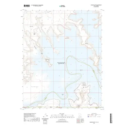
2020 Map of Gunsight Butte
USGS Topo · Published 2020About this map
Lake Powell dominates this high-desert landscape within the Glen Canyon National Recreation Area, where rising waters have transformed deep sandstone canyons into a complex system of bays and inlets. The topography is defined by dramatic vertical relief, featuring prominent landmarks like Gunsight Butte and Padres Butte that rise above the waterline. The map details the intricate shoreline of Padre Bay and Last Chance Bay, showing how the encroaching reservoir has isolated former terrestrial features such as Gunsight Bar and Padre Point. Along the northern and western margins, the terrain ascends toward Alstrom Point and the expansive Romana Mesa, offering a view of the geologic transition between the sunken canyons and the high plateau. This modern survey illustrates the contemporary water levels of the Colorado River system, tracing the intersection of human-engineered recreation and the ancient, carved formations of the Rainbow Plateau.
Find a feature on this map
28 named features on this map. Tap any name to fly to it.
Don’t see what you’re looking for? This feature index may not catch every label — zoom into the map to look around manually.
Map Details
Editions of this 2020 Gunsight Butte Map
This is the sole edition of this map. No revisions or reprints were ever made.
Other maps of this area

1886 · Escalante
USGS Topo · 1:250,000

1886 · Echo Cliffs
USGS Topo · 1:250,000

1891 · Echo Cliffs
USGS Topo · 1:250,000

1922 · Warm Creek
USGS Topo · 1:63,360

1953 · Cummings Mesa
USGS Topo · 1:62,500

1953 · Gunsight Butte
USGS Topo · 1:62,500

1954 · Leche-E Rock
USGS Topo · 1:62,500

1954 · Navajo Creek
USGS Topo · 1:62,500

1956 · Escalante
USGS Topo · 1:250,000

1956 · Marble Canyon
USGS Topo · 1:250,000