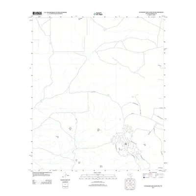
2013 Map of Gunsight Hills South
USGS Topo · Published 2013About this map
Mile High serves as a modern focal point in this arid landscape of Hudspeth County, characterized by a series of prominent peaks and water management infrastructure. The settlement is anchored by the Mile High Golf Course, which sits amidst a network of residential and access roads including The Bouvelard and The Blvd. The terrain is defined by dramatic elevations such as Little Blanca Mtn and Sierra Blanca to the south, while further north the land rises toward Gunsight Hills and Round Top.
Find a feature on this map
28 named features on this map. Tap any name to fly to it.
Don’t see what you’re looking for? This feature index may not catch every label — zoom into the map to look around manually.
Map Details
Editions of this 2013 Gunsight Hills South Map
This is the sole edition of this map. No revisions or reprints were ever made.
Other maps of this area
1894 · Fort Hancock
USGS Topo · 1:125,000
1895 · Sierra Blanca
USGS Topo · 1:125,000
1943 · Fort Quitman
USGS Topo · 1:62,500
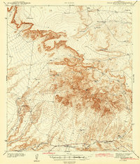
1943 · Finlay Mountains
USGS Topo · 1:62,500
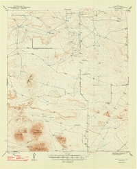
1948 · Triple Hill
USGS Topo · 1:62,500
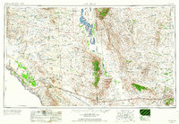
1954 · Van Horn
USGS Topo · 1:250,000
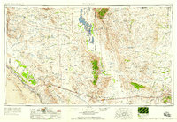
1958 · Van Horn
USGS Topo · 1:250,000
1964 · Lasca
USGS Topo · 1:24,000
1964 · Sierra Blanca
USGS Topo · 1:24,000
1972 · Silver King Canyon
USGS Topo · 1:24,000