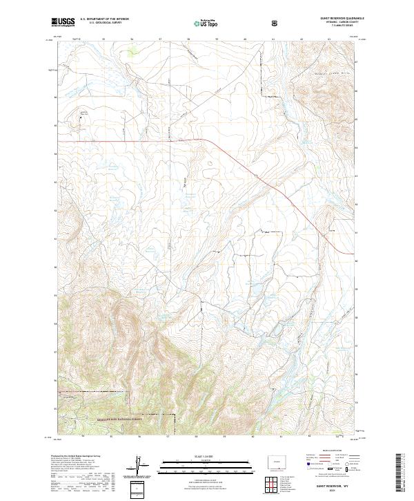
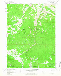
2021 Map of Gunst Reservoir
USGS Topo · Published 2021About this map
Medicine Bow National Forest dominates the southern reaches of this Carbon County landscape, where the high-altitude terrain gives way to an intricate system of water management. The mapping reveals a complex network of man-made irrigation and storage, featuring the Enlarged Encampment Ditch, Laroy Ditch, and Reservoir Ditch. These channels feed numerous catchments like Gunst Reservoir and Lordier Reservoir, illustrating the vital role of water rights in this arid ranching country.
Find a feature on this map
62 named features on this map. Tap any name to fly to it.
Don’t see what you’re looking for? This feature index may not catch every label — zoom into the map to look around manually.
Map Details
Editions of this 2021 Gunst Reservoir Map
This is the sole edition of this map. No revisions or reprints were ever made.
Other maps of this area

1939 · Saratoga
USGS Topo · 1:125,000

1954 · Rawlins
USGS Topo · 1:250,000

1958 · Rawlins
USGS Topo · 1:250,000

1961 · Ryan Park
USGS Topo · 1:24,000

1961 · Gunst Reservoir
USGS Topo · 1:24,000
1961 · Trent Creek
USGS Topo · 1:24,000
1961 · Barcus Peak
USGS Topo · 1:24,000

1961 · Encampment
USGS Topo · 1:24,000
1961 · Blackhall Mountain
USGS Topo · 1:24,000
1961 · Dudley Creek
USGS Topo · 1:24,000