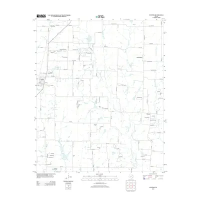
2013 Map of Gunter
USGS Topo · Published 2013About this map
Gunter serves as the primary hub in this portion of North Texas, situated at the intersection of rural highways and local transit corridors. The landscape is defined by the headwaters and tributaries of the E Fork Trinity River, including Squirrel Cr and Stanley Cr, which create a network of drainage across the agricultural plains. Smaller settlements such as Farmington, Elmont, and Elm View anchor the surrounding countryside, each representing established communities within the county's historical grid.
Find a feature on this map
125 named features on this map. Tap any name to fly to it.
Don’t see what you’re looking for? This feature index may not catch every label — zoom into the map to look around manually.
Map Details
Editions of this 2013 Gunter Map
This is the sole edition of this map. No revisions or reprints were ever made.
Other maps of this area

1901 · Denison
USGS Topo · 1:125,000

1954 · Sherman
USGS Topo · 1:250,000

1958 · Dorchester
USGS Topo · 1:24,000

1958 · Whitesboro
USGS Topo · 1:62,500

1958 · Sherman
USGS Topo · 1:250,000

1958 · Sherman
USGS Topo · 1:62,500

1958 · Howe
USGS Topo · 1:24,000

1960 · Celina
USGS Topo · 1:24,000

1961 · Gunter
USGS Topo · 1:24,000

1961 · Van Alstyne
USGS Topo · 1:24,000