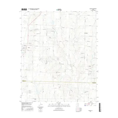
2016 Map of Gunter
USGS Topo · Published 2016About this map
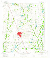
Gunter serves as a primary settlement node in this North Texas landscape, where the agricultural plains are bisected by the Grayson Co Collin Co boundary line. The terrain is defined by the winding course of the E Fork Trinity River and its tributaries, including Honey Creek and Stanley Creek. Historically significant family and community burial grounds are found throughout the area, such as Hall Cem, Elliott Cem, and the Smallwood Cem further south. These sites, along with smaller locales like Farmington and Elmont, reflect the decentralized rural settlement patterns common before suburban expansion moved further north. The map also documents local infrastructure ranging from the banks of Gunter Lake to the residential development surrounding Bishop's Landing, providing a detailed view of the region's transition from open ranchland to more established community grids.
Find a feature on this map
112 named features on this map. Tap any name to fly to it.
Don’t see what you’re looking for? This feature index may not catch every label — zoom into the map to look around manually.
Map Details
Editions of this 2016 Gunter Map
This is the sole edition of this map. No revisions or reprints were ever made.
Other maps of this area
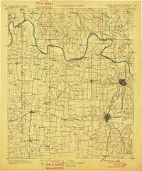
1901 · Denison
USGS Topo · 1:125,000

1954 · Sherman
USGS Topo · 1:250,000
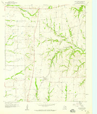
1958 · Dorchester
USGS Topo · 1:24,000
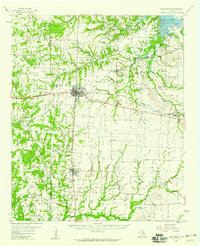
1958 · Whitesboro
USGS Topo · 1:62,500

1958 · Sherman
USGS Topo · 1:250,000
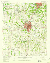
1958 · Sherman
USGS Topo · 1:62,500
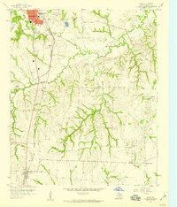
1958 · Howe
USGS Topo · 1:24,000
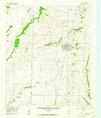
1960 · Celina
USGS Topo · 1:24,000
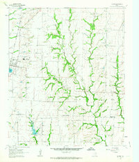
1961 · Gunter
USGS Topo · 1:24,000
1961 · Van Alstyne
USGS Topo · 1:24,000