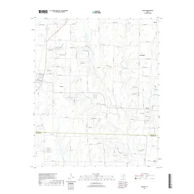
2019 Map of Gunter
USGS Topo · Published 2019About this map
Gunter serves as a central hub in this modern survey of the North Texas landscape, situated where the high prairies of Grayson County meet the northern edge of Collin County. The terrain is defined by the headwaters of several significant drainage systems, including the E Fork Trinity River and W Prong Whites Cr. These waterways cut through a transition from established agricultural lands to increasing residential development, seen in the newer street networks of Anna and Howe. For those investigating family history, the map preserves the locations of several smaller burial grounds such as Hall Cem, Smallwood Cem, and Forbis Cem, which remain as physical markers of the area's rural heritage. The settlement patterns of Farmington and Elmont reflect the long-standing communities that have persisted along these creek forks for generations.
Find a feature on this map
124 named features on this map. Tap any name to fly to it.
Don’t see what you’re looking for? This feature index may not catch every label — zoom into the map to look around manually.
Map Details
Editions of this 2019 Gunter Map
This is the sole edition of this map. No revisions or reprints were ever made.
Other maps of this area

1901 · Denison
USGS Topo · 1:125,000

1954 · Sherman
USGS Topo · 1:250,000

1958 · Dorchester
USGS Topo · 1:24,000

1958 · Whitesboro
USGS Topo · 1:62,500

1958 · Sherman
USGS Topo · 1:250,000

1958 · Sherman
USGS Topo · 1:62,500

1958 · Howe
USGS Topo · 1:24,000

1960 · Celina
USGS Topo · 1:24,000

1961 · Gunter
USGS Topo · 1:24,000

1961 · Van Alstyne
USGS Topo · 1:24,000