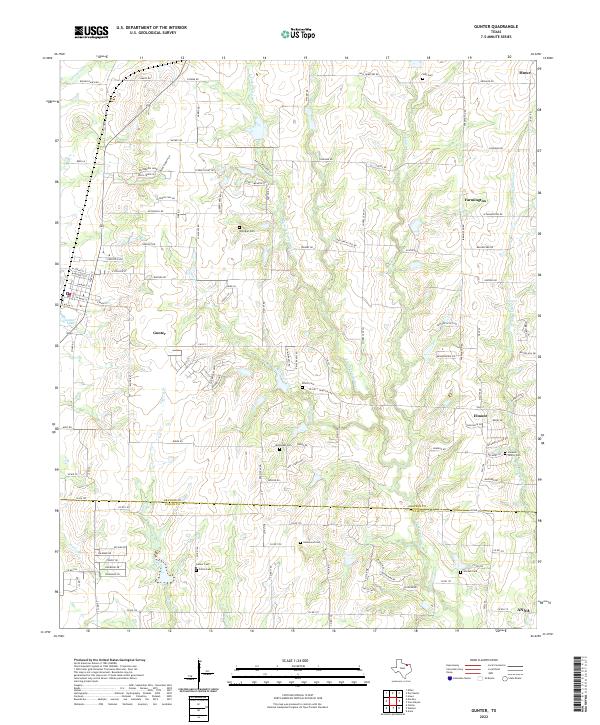
2022 Map of Gunter
USGS Topo · Published 2022About this map
Gunter serves as the primary hub in this portion of north Texas, situated just above the Grayson Co Collin Co line. The landscape is defined by the headwaters and tributaries of several major drainage systems, including the E Fork Trinity River, Honey Cr, and W Prong Whites Cr. Settlement patterns here are deeply rooted in family landholdings, evidenced by the high density of rural burial grounds such as Whitaker Cem, Elliott Cem, and the Simpson Family Cem. While Gunter Lake provides a local landmark near the town center, the surrounding terrain is increasingly characterized by residential development along corridors like La Buena Vida Dr and Hidden Lakes Blvd. Smaller communities like Elmont and Farmington remain distinct nodes within the agricultural and ranching landscape that connects these growing towns.
Find a feature on this map
125 named features on this map. Tap any name to fly to it.
Don’t see what you’re looking for? This feature index may not catch every label — zoom into the map to look around manually.
Map Details
Editions of this 2022 Gunter Map
This is the sole edition of this map. No revisions or reprints were ever made.
Other maps of this area

1901 · Denison
USGS Topo · 1:125,000

1954 · Sherman
USGS Topo · 1:250,000

1958 · Dorchester
USGS Topo · 1:24,000

1958 · Whitesboro
USGS Topo · 1:62,500

1958 · Sherman
USGS Topo · 1:250,000

1958 · Sherman
USGS Topo · 1:62,500

1958 · Howe
USGS Topo · 1:24,000

1960 · Celina
USGS Topo · 1:24,000

1961 · Gunter
USGS Topo · 1:24,000

1961 · Van Alstyne
USGS Topo · 1:24,000