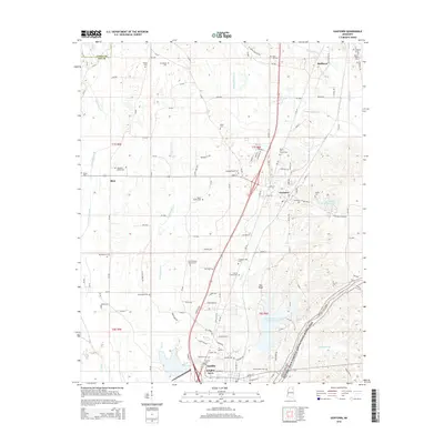
2015 Map of Guntown
USGS Topo · Published 2015About this map
Pea Ridge and the winding course of Sand Cr define the eastern landscape of Lee County on this 2015 survey. The area is characterized by a dense network of family cemeteries and local landmarks, highlighting the deep genealogical roots of the region. Notable burial sites include the Guntown Cem, Taylor Family Cem, and Francis Family Cem. The BNSF Railway corridor serves as the primary industrial artery, running north-south through the settlements of Guntown and Saltillo.
Find a feature on this map
139 named features on this map. Tap any name to fly to it.
Don’t see what you’re looking for? This feature index may not catch every label — zoom into the map to look around manually.
Map Details
Editions of this 2015 Guntown Map
This is the sole edition of this map. No revisions or reprints were ever made.
Other maps of this area

1921 · Booneville
USGS Topo · 1:48,000

1921 · Tupelo
USGS Topo · 1:48,000

1922 · Booneville
USGS Topo · 1:62,500

1923 · Tupelo
USGS Topo · 1:62,500

1955 · Ripley
USGS Topo · 1:62,500

1955 · Sherman
USGS Topo · 1:62,500

1956 · Tupelo
USGS Topo · 1:250,000

1958 · Tupelo
USGS Topo · 1:250,000

1965 · Mooreville
USGS Topo · 1:24,000

1973 · Guntown
USGS Topo · 1:24,000